


Belgique

sameja
User

Length
9.4 km

Max alt
91 m

Uphill gradient
74 m
Km-Effort
10.4 km

Min alt
74 m

Downhill gradient
73 m
Boucle
Yes
Creation date :
2022-01-27 12:13:51.0
Updated on :
2022-01-27 13:27:52.032
1h13
Difficulty : Easy

FREE GPS app for hiking
 SityTrail
IGN / Geographical institutes
SityTrail Plus
The world is yours!
About
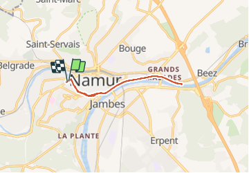
Trail Trail of 9.4 km to be discovered at Wallonia, Namur, Namur. This trail is proposed by sameja.
Description
Namur
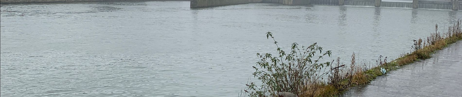
Photos


Positioning
Country:
Belgium
Region :
Wallonia
Department/Province :
Namur
Municipality :
Namur
Location:
Namur
Start:(Dec)
Start:(UTM)
631511 ; 5592097 (31U) N.
Comments