


Les 25 ponts-Roquebrune sur Argens-28-01-22

Christiancordin
User
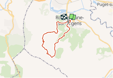

Length
12.2 km

Max alt
259 m

Uphill gradient
289 m
Km-Effort
16.1 km

Min alt
18 m

Downhill gradient
292 m
Boucle
Yes
Creation date :
2022-01-28 09:11:12.429
Updated on :
2022-02-01 15:10:01.054
4h38
Difficulty : Medium

FREE GPS app for hiking
 SityTrail
IGN / Geographical institutes
SityTrail Plus
The world is yours!
About
Trail Walking of 12.2 km to be discovered at Provence-Alpes-Côte d'Azur, Var, Roquebrune-sur-Argens. This trail is proposed by Christiancordin.
Description
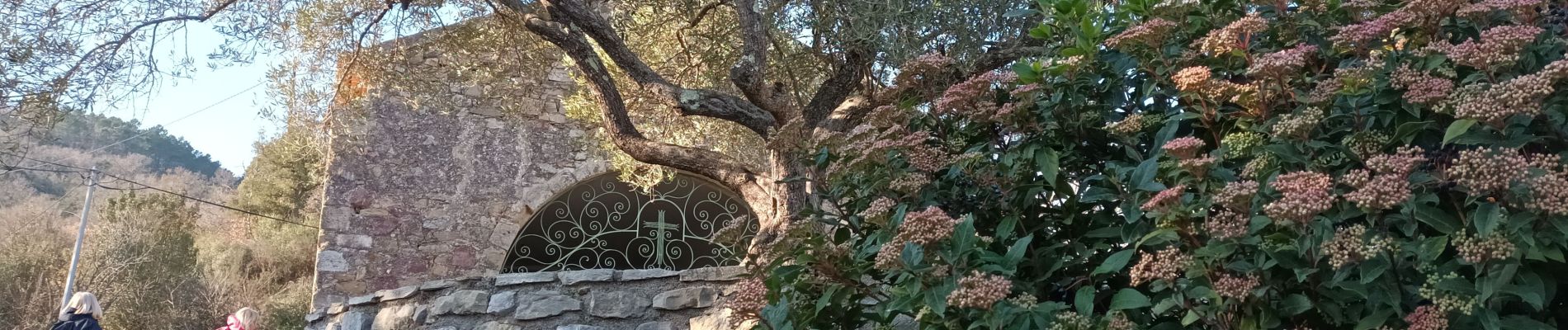
Les 25 ponts-ravin de la petite Maurette-lac des Clots-la Maurette-GR 51-Roquebrune sur Argens.
Photos


Positioning
Country:
France
Region :
Provence-Alpes-Côte d'Azur
Department/Province :
Var
Municipality :
Roquebrune-sur-Argens
Location:
Unknown
Start:(Dec)
Start:(UTM)
308599 ; 4812437 (32T) N.
Comments
Roquebrune-sur-Argens