


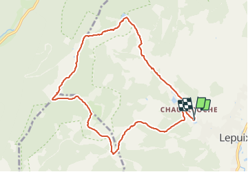

14.6 km | 23 km-effort

User


FREE GPS app for hiking
 SityTrail
IGN / Geographical institutes
SityTrail World
The world is yours!
Trail Walking of 9.6 km to be discovered at Bourgogne-Franche-Comté, Territoire-de-Belfort, Lepuix. This trail is proposed by Bart2015.
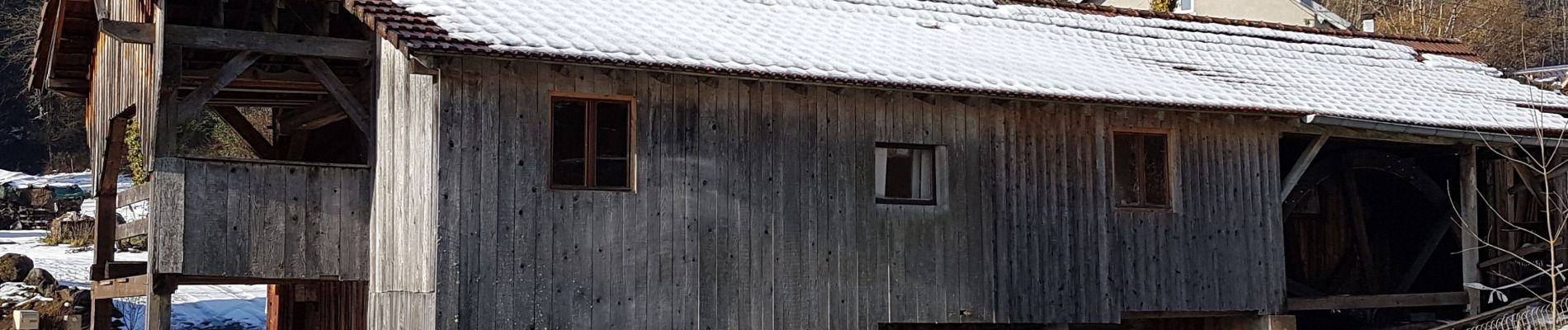
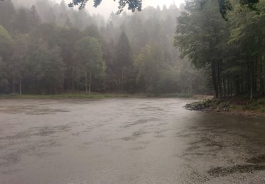
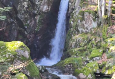
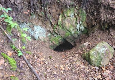
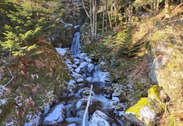
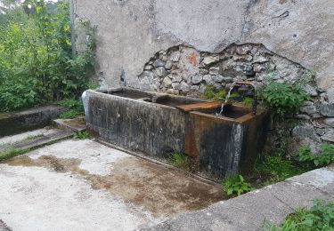
Belle randonnée au départ de la scierie communale datant de 1878, scierie qui a gardé le charme d'antan, à découvrir au retour. La montée à l'étang des Belles Filles est sportive mais si on prend le temps, elle se fait très bien. L'arrivée au sommet de la Planche des Belles nous replonge dans l'histoire de la Seconde guerre mondiale. Profitez également de la vue sur les sommets alentour : Ballon d'Alsace, Ballon de Servance ...
Bonne randonnée ...


Walking

Walking

Walking
Walking

Walking
Walking
Walking
Walking
Walking