


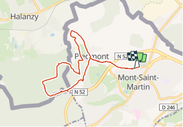

12.2 km | 14.9 km-effort


FREE GPS app for hiking
 SityTrail
IGN / Geographical institutes
SityTrail World
The world is yours!
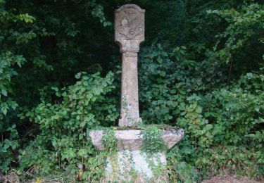
Trail Walking of 8.4 km to be discovered at Grand Est, Meurthe-et-Moselle, Mont-Saint-Martin. This trail is proposed by 001419.15ff153162644524a40cbd112148143f.1943.
Walking

Walking
Walking

On foot

On foot
On foot
On foot

On foot