


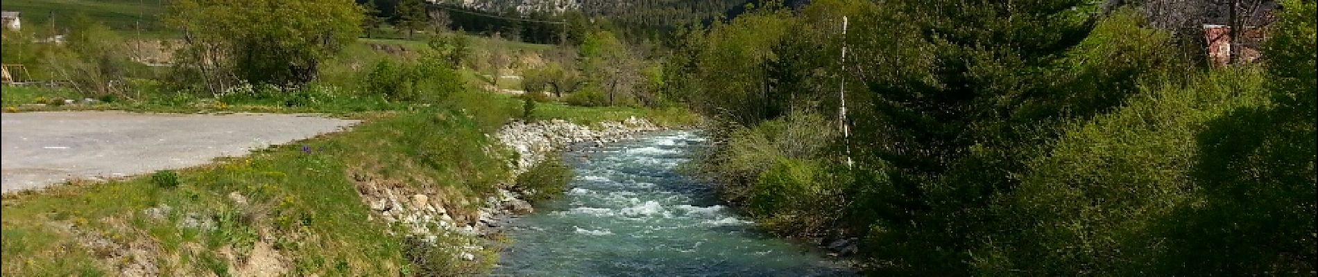
Plampinet Clarée amont

Orcal37
User GUIDE
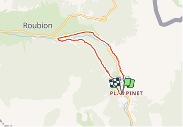

Length
6.2 km

Max alt
1583 m

Uphill gradient
118 m
Km-Effort
7.7 km

Min alt
1483 m

Downhill gradient
113 m
Boucle
Yes
Creation date :
2014-12-10 00:00:00.0
Updated on :
2021-09-23 17:43:24.096
1h27
Difficulty : Easy

FREE GPS app for hiking
 SityTrail
IGN / Geographical institutes
SityTrail Plus
The world is yours!
About
Trail Walking of 6.2 km to be discovered at Provence-Alpes-Côte d'Azur, Hautes-Alpes, Névache. This trail is proposed by Orcal37.
Description
Plampinet Vallée de la Clarée - amont
Photos


Positioning
Country:
France
Region :
Provence-Alpes-Côte d'Azur
Department/Province :
Hautes-Alpes
Municipality :
Névache
Location:
Unknown
Start:(Dec)
Start:(UTM)
315609 ; 4985938 (32T) N.
Comments
chemin montant avec beaucoup d' éboulements de cailloux