


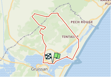
Le massif de la Clape Gruissan

jacques delaporte
User


5h37
Difficulty : Medium

FREE GPS app for hiking
 SityTrail
IGN / Geographical institutes
SityTrail Plus
The world is yours!
About
Trail Nordic walking of 17 km to be discovered at Occitania, Aude, Gruissan. This trail is proposed by jacques delaporte.
Description
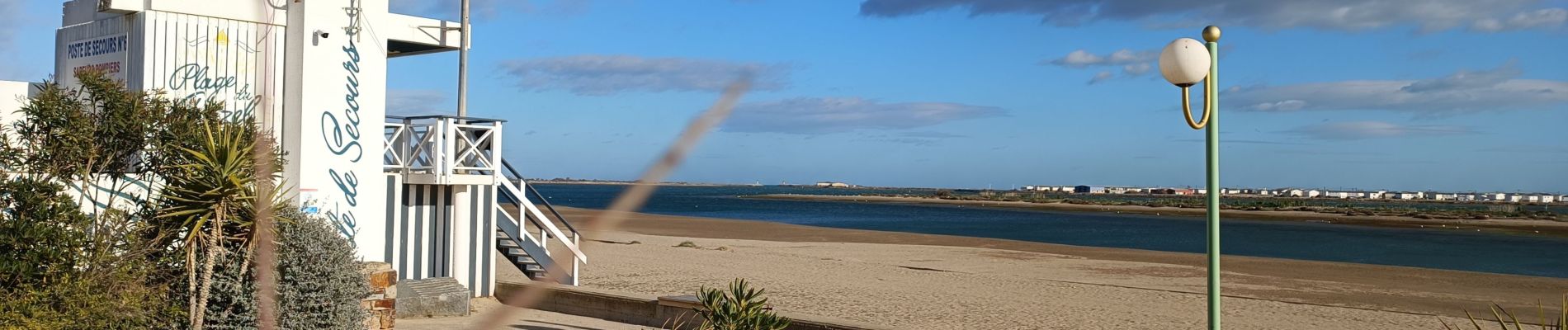
Entre Montagne, étang et mer
Belle rando, une Belle découverte de la côte Gruissanaise avec ses Sources,notre Dame de Auzil au Passage,vue sur la Cathédrale de Narbonne et la côte mer
Photos


41 photos in total. Please click on a photo to see them all in the gallery.
Positioning
Comments