


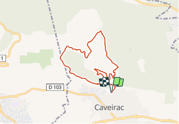
Caveirac - Capitelles St Roch

rando30129
User

Length
8.3 km

Max alt
179 m

Uphill gradient
127 m
Km-Effort
10 km

Min alt
102 m

Downhill gradient
127 m
Boucle
Yes
Creation date :
2022-02-01 13:01:56.369
Updated on :
2022-02-08 20:44:33.837
2h36
Difficulty : Medium

FREE GPS app for hiking
 SityTrail
IGN / Geographical institutes
SityTrail Plus
The world is yours!
About
Trail Walking of 8.3 km to be discovered at Occitania, Gard, Caveirac. This trail is proposed by rando30129.
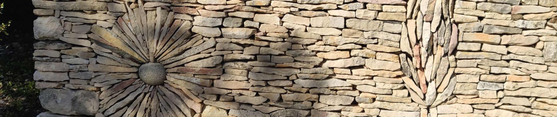
Photos


Positioning
Country:
France
Region :
Occitania
Department/Province :
Gard
Municipality :
Caveirac
Location:
Unknown
Start:(Dec)
Start:(UTM)
601594 ; 4853656 (31T) N.
Comments