Trail Other activity Vauchelles-les-Quesnoy - 1ère étape SOMME  - Photo
 c.p1970
c.p1970

User

© OpenStreetMap contributors
Length
Length
22 km
Max alt
Max alt
111 m
Uphill gradient
Uphill gradient
158 m
Km-Effort
Km-Effort  
24 km
Min alt
Min alt
5 m
Downhill gradient
Downhill gradient
188 m
Boucle
Boucle
No
Creation date :
2014-12-10 00:00:00.0
Updated on :
2014-12-10 00:00:00.0

(0 Reviews)

Other activity
Other activity
6h21
Difficulty : Unknown

Scan this QR Code to open this trail in the SityTrail application

FREE GPS app for hiking

Logo SityTrail SityTrail

IGN / Geographical institutes

Download SityTrail from the App Store Download SityTrail from Google Play

Logo SityTrail SityTrail World

The world is yours!

Download SityTrail from the App Store Download SityTrail from Google Play Download SityTrail on Huawei AppGallery

About

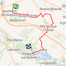
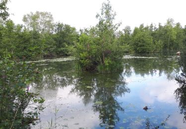
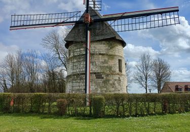
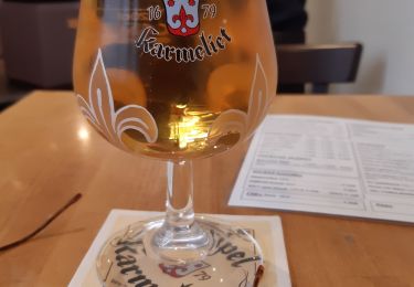
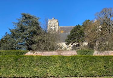
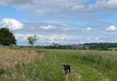
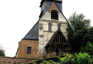
Trail Other activity of 22 km to be discovered at Hauts-de-France, Somme, Vauchelles-les-Quesnoy. This trail is proposed by c.p1970.

Elevation profile

Photos

Positioning

Country:
France
Region :
Hauts-de-France
Department/Province :
Somme
Municipality :
Vauchelles-les-Quesnoy
Location:
Unknown
Start:(UTM)
421009 ; 5550732 (31U) N.

Trails nearby

Trail On foot Eaucourt-sur-Somme - Le Moulin d'Eaucourt - Photo
On foot
PRO

On foot

Easy
Eaucourt-sur-Somme, Hauts-de-France, Somme, France
5.8 km | 7.3 km-effort
1h 39min
Yes
Trail On foot Saint-Riquier - Balade Centuloise - Photo
On foot
PRO

On foot

Easy
Saint-Riquier, Hauts-de-France, Somme, France
8.9 km | 10.3 km-effort
2h 20min
Yes
Trail Walking Eaucourt-sur-Somme - le moulin d'Eaucourt  - Photo
Walking
Luc Gengoux

Walking

Easy
Eaucourt-sur-Somme, Hauts-de-France, Somme, France
7.4 km | 9.1 km-effort
2h 23min
Yes
Trail Walking Mareuil-Caubert - Au travers des étangs  - Photo
Walking
Luc Gengoux

Walking

Very easy
Mareuil-Caubert, Hauts-de-France, Somme, France
3.7 km | 3.9 km-effort
1h 16min
Yes
Trail Walking Eaucourt-sur-Somme - lp80_eaucourt - Photo
Walking
GR77LP

Walking

Medium
Eaucourt-sur-Somme, Hauts-de-France, Somme, France
7.2 km | 8.9 km-effort
2h 1min
Yes
Trail Walking Abbeville - Abbeville Grands Lavier - Photo
Walking
runarlejou

Walking

Very easy
Abbeville, Hauts-de-France, Somme, France
17.7 km | 18.6 km-effort
4h 40min
No
Trail Nordic walking Saint-Riquier - La Centuloise 2023 - Photo
Nordic walking
roselinemazeyrat

Nordic walking

Saint-Riquier, Hauts-de-France, Somme, France
13.9 km | 16.2 km-effort
2h 50min
Yes
Trail Walking Saint-Riquier - St riquier-maison roland  - Photo
Walking
docfil

Walking

Very easy
Saint-Riquier, Hauts-de-France, Somme, France
10.4 km | 11.9 km-effort
2h 3min
Yes
Trail On foot Mareuil-Caubert - Les Etangs et Marais de Mareuil-Caubert - Photo
On foot
PRO

On foot

Easy
Mareuil-Caubert, Hauts-de-France, Somme, France
3.4 km | 3.6 km-effort
48min
No


Close
My subscriptions