


Rocher des abeilles-02-02-2022

Christiancordin
User
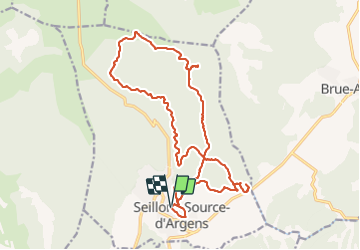

Length
23 km

Max alt
503 m

Uphill gradient
530 m
Km-Effort
30 km

Min alt
271 m

Downhill gradient
529 m
Boucle
Yes
Creation date :
2022-02-02 08:32:06.696
Updated on :
2022-02-03 17:53:00.001
5h56
Difficulty : Medium

FREE GPS app for hiking
 SityTrail
IGN / Geographical institutes
SityTrail Plus
The world is yours!
About
Trail Walking of 23 km to be discovered at Provence-Alpes-Côte d'Azur, Var, Seillons-Source-d'Argens. This trail is proposed by Christiancordin.
Description
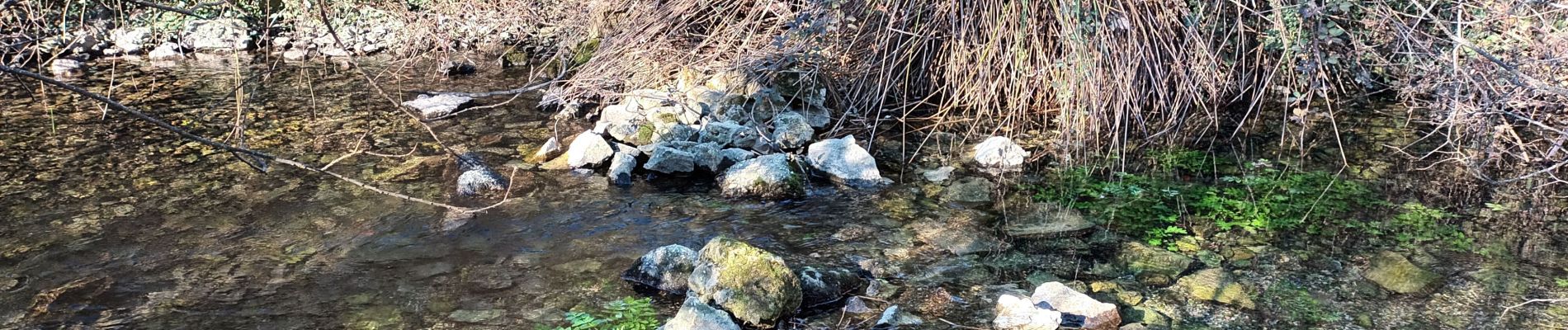
Seillons source d'Argens-pont d'Argens-source de l'Argens-rocher des abeilles.
Photos


Positioning
Country:
France
Region :
Provence-Alpes-Côte d'Azur
Department/Province :
Var
Municipality :
Seillons-Source-d'Argens
Location:
Unknown
Start:(Dec)
Start:(UTM)
732962 ; 4820194 (31T) N.
Comments