


pic de nore

thomas.o.vert
User
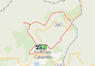

Length
10 km

Max alt
1214 m

Uphill gradient
446 m
Km-Effort
15.9 km

Min alt
832 m

Downhill gradient
447 m
Boucle
Yes
Creation date :
2022-02-02 13:13:49.482
Updated on :
2022-02-02 17:05:57.891
3h07
Difficulty : Medium

FREE GPS app for hiking
 SityTrail
IGN / Geographical institutes
SityTrail Plus
The world is yours!
About
Trail Walking of 10 km to be discovered at Occitania, Aude, Pradelles-Cabardès. This trail is proposed by thomas.o.vert.
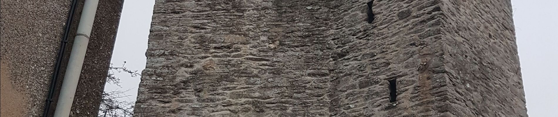
Photos


Positioning
Country:
France
Region :
Occitania
Department/Province :
Aude
Municipality :
Pradelles-Cabardès
Location:
Unknown
Start:(Dec)
Start:(UTM)
455015 ; 4806312 (31T) N.
Comments