Trail Road bike Beaurecueil - 
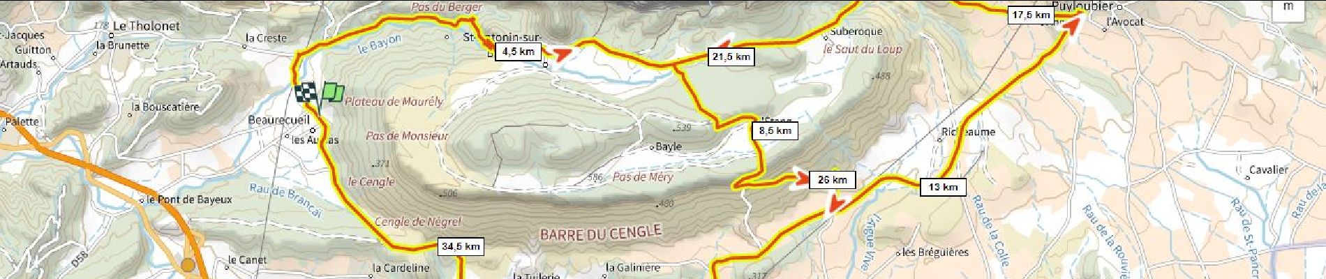
le 8 du Cengle D+750m - Photo
© OpenStreetMap contributors
Length
Length
37 km
Max alt
Max alt
514 m
Uphill gradient
Uphill gradient
746 m
Km-Effort
Km-Effort  
47 km
Min alt
Min alt
228 m
Downhill gradient
Downhill gradient
748 m
Boucle
Boucle
Yes
Creation date :
2022-02-03 23:00:04.62
Updated on :
2023-05-21 11:53:28.199

(0 Reviews)

Road bike
Road bike
2h51
Difficulty : Very difficult

Scan this QR Code to open this trail in the SityTrail application

FREE GPS app for hiking

Logo SityTrail SityTrail

IGN / Geographical institutes

Download SityTrail from the App Store Download SityTrail from Google Play

Logo SityTrail SityTrail Plus

The world is yours!

Download SityTrail from the App Store Download SityTrail from Google Play Download SityTrail on Huawei AppGallery

About

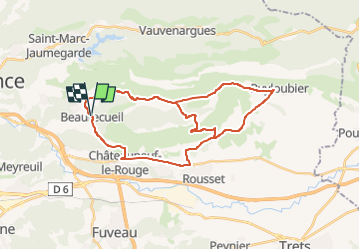
Trail Road bike of 37 km to be discovered at Provence-Alpes-Côte d'Azur, Bouches-du-Rhône, Beaurecueil. This trail is proposed by ericberlin.

Description

On passe 2 fois le pas de Magnan parce qu'on ne se lasse pas de son panorama :)  
Le mieux est de partir des Bannettes pour se chauffer les cuisses.  
Piste cyclable sur la D7 entre Rousset (Les Bannettes) et Châteauneuf depuis 2021.

Elevation profile

Photos

Positioning

Country:
France
Region :
Provence-Alpes-Côte d'Azur
Department/Province :
Bouches-du-Rhône
Municipality :
Beaurecueil
Location:
Unknown
Start:(UTM)
705751 ; 4820805 (31T) N.


Close
My subscriptions