


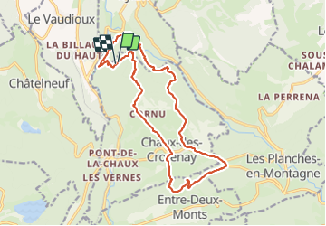

15.4 km | 20 km-effort

User


FREE GPS app for hiking
 SityTrail
IGN / Geographical institutes
SityTrail World
The world is yours!
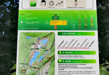
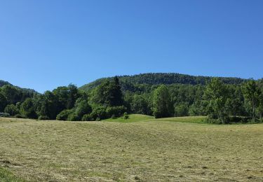
Trail Walking of 18.5 km to be discovered at Bourgogne-Franche-Comté, Jura, Chaux-des-Crotenay. This trail is proposed by zefreefly.
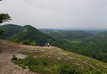
Rando agréable qui demande d’être en forme quand même.
Une petite portion qui suit le Gr et surtout un passage surprise avec une ligne de vie.
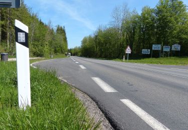
Pas trop de bitume.
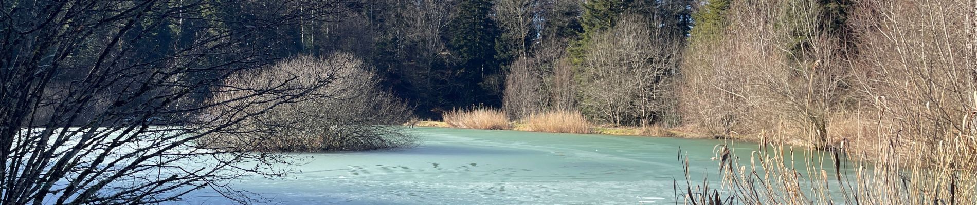
Départ au plan d’eau des Perchettes en pleine forêt.


Walking
Walking
Walking

Walking

Walking
On foot
Walking
On foot
Walking