


Mazeres

richardsimopons
User
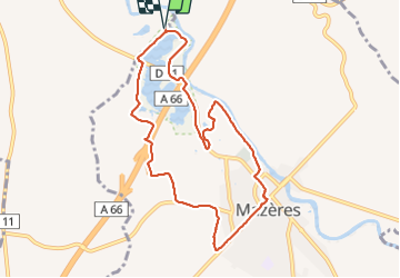

Length
9.6 km

Max alt
245 m

Uphill gradient
67 m
Km-Effort
10.5 km

Min alt
217 m

Downhill gradient
67 m
Boucle
Yes
Creation date :
2022-02-06 08:19:59.0
Updated on :
2022-02-06 10:57:37.051
2h17
Difficulty : Medium

FREE GPS app for hiking
 SityTrail
IGN / Geographical institutes
SityTrail Plus
The world is yours!
About
Trail Walking of 9.6 km to be discovered at Occitania, Haute-Garonne, Calmont. This trail is proposed by richardsimopons.
Description
Du parking auberge Domaine des Oiseaux vers Mazeres par pont AR , le Raunier, L’ Hers et reroute
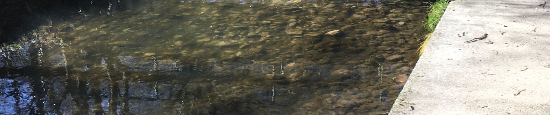
Photos


Positioning
Country:
France
Region :
Occitania
Department/Province :
Haute-Garonne
Municipality :
Calmont
Location:
Unknown
Start:(Dec)
Start:(UTM)
391404 ; 4791754 (31T) N.
Comments