


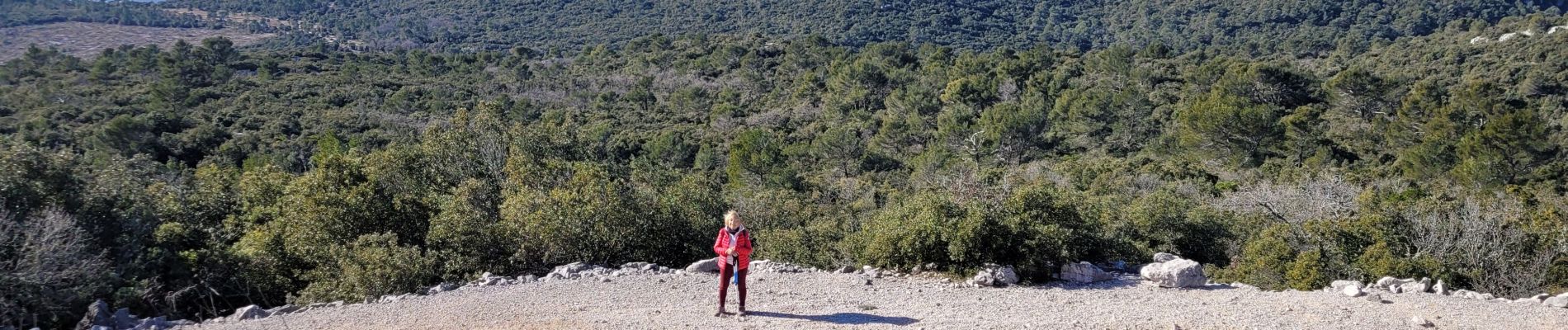
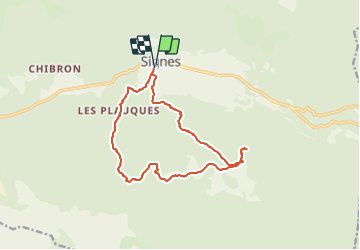
VAT 2009B - la Limate, par la Tête de la Paillette et les Crottes

jmheydorff
User

Length
14.8 km

Max alt
747 m

Uphill gradient
547 m
Km-Effort
22 km

Min alt
329 m

Downhill gradient
547 m
Boucle
Yes
Creation date :
2022-02-07 10:38:32.478
Updated on :
2022-02-08 10:31:19.458
2h09
Difficulty : Medium

FREE GPS app for hiking
 SityTrail
IGN / Geographical institutes
SityTrail Plus
The world is yours!
About
Trail Walking of 14.8 km to be discovered at Provence-Alpes-Côte d'Azur, Var, Signes. This trail is proposed by jmheydorff.
Photos


Positioning
Country:
France
Region :
Provence-Alpes-Côte d'Azur
Department/Province :
Var
Municipality :
Signes
Location:
Unknown
Start:(Dec)
Start:(UTM)
732179 ; 4796900 (31T) N.
Comments