


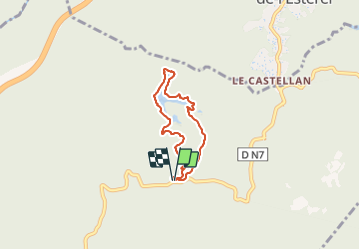
JD 14/20 Le tour du lac de l’Avellan

argonneuweg
User


1h31
Difficulty : Easy

FREE GPS app for hiking
 SityTrail
IGN / Geographical institutes
SityTrail Plus
The world is yours!
About
Trail Walking of 5.3 km to be discovered at Provence-Alpes-Côte d'Azur, Var, Fréjus. This trail is proposed by argonneuweg.
Description
Gentille promenade qui descend jusqu’au lac par un chemin un peu escarpé ; on fait ensuite le tour du lac puis on remonte par la route qui mène au col du Testanier (bien en hiver quand on cherche le soleil, par contre en été, mieux vaut remonter par le sentier parallèle plus escarpé mais plus ombragé).
Le lac était presque à sec en février 2022 : il serait bien de refaire cette promenade après de grosses pluies lorsque le niveau du lac est rétablie.
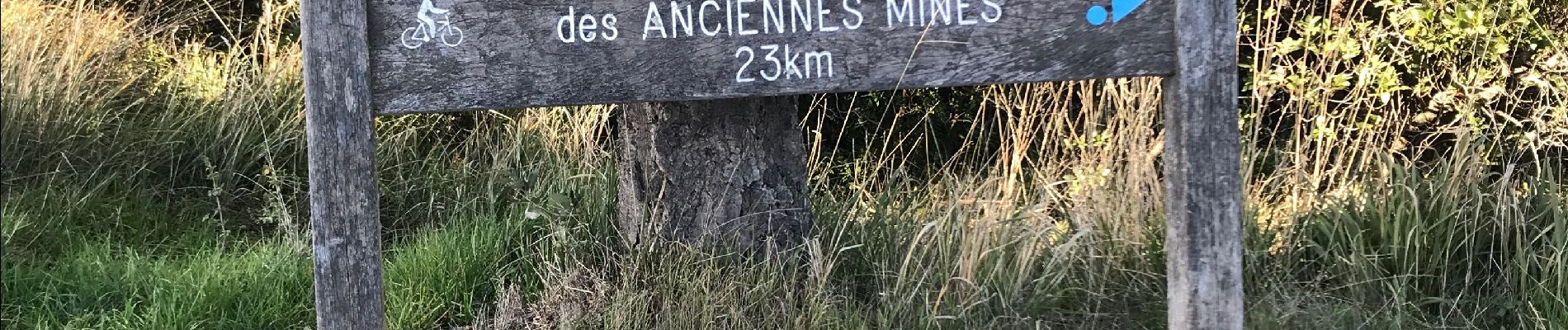
Photos


Positioning
Comments