Trail Walking Chanay - Le Colombier  - Photo
© OpenStreetMap contributors
Length
Length
27 km
Max alt
Max alt
1512 m
Uphill gradient
Uphill gradient
985 m
Km-Effort
Km-Effort  
40 km
Min alt
Min alt
968 m
Downhill gradient
Downhill gradient
986 m
Boucle
Boucle
Yes
Creation date :
2014-12-10 00:00:00.0
Updated on :
2014-12-10 00:00:00.0

(0 Reviews)

Walking
Walking
6h53
Difficulty : Medium

Scan this QR Code to open this trail in the SityTrail application

FREE GPS app for hiking

Logo SityTrail SityTrail

IGN / Geographical institutes

Download SityTrail from the App Store Download SityTrail from Google Play

Logo SityTrail SityTrail World

The world is yours!

Download SityTrail from the App Store Download SityTrail from Google Play Download SityTrail on Huawei AppGallery

About

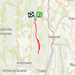
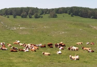
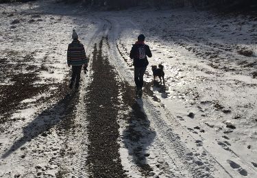
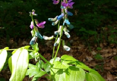
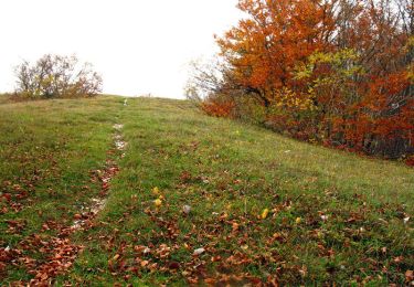
Trail Walking of 27 km to be discovered at Auvergne-Rhône-Alpes, Ain, Chanay. This trail is proposed by Arvierie56@Gmail.com.

Description

via Richemont et retour

Elevation profile

Photos

Positioning

Country:
France
Region :
Auvergne-Rhône-Alpes
Department/Province :
Ain
Municipality :
Chanay
Location:
Unknown
Start:(UTM)
712691 ; 5098757 (31T) N.

Trails nearby

Trail Mountain bike Haut Valromey - Espace VTT FFC du Bugey - Circuit n° 16 - Les Plans d'Hotonnes - Photo
Mountain bike
tracegps

Mountain bike

Difficult
(1)
Haut Valromey, Auvergne-Rhône-Alpes, Ain, France
24 km | 32 km-effort
2h 0min
Yes
Trail Mountain bike Haut Valromey - Espace VTT FFC du Bugey - Circuit n° 15 - Les Plans d'Hotonnes - Photo
Mountain bike
tracegps

Mountain bike

Very difficult
(2)
Haut Valromey, Auvergne-Rhône-Alpes, Ain, France
14.1 km | 22 km-effort
1h 15min
Yes
Trail Walking Haut Valromey - les bergonnes  - Photo
Walking
Jackoyo

Walking

Medium
Haut Valromey, Auvergne-Rhône-Alpes, Ain, France
8.4 km | 12.4 km-effort
2h 46min
Yes
Trail Walking Haut Valromey - les plans d automne - Photo
Walking
colomb24

Walking

Easy
Haut Valromey, Auvergne-Rhône-Alpes, Ain, France
37 km | 58 km-effort
5h 1min
No
Trail Snowshoes Haut Valromey - Plan d'Hotonnes - GTJ - Photo
Snowshoes
tracegps

Snowshoes

Medium
Haut Valromey, Auvergne-Rhône-Alpes, Ain, France
10.7 km | 15.6 km-effort
4h 0min
Yes
Trail Walking Haut Valromey - RETORD: CRET DU NÛ - Photo
Walking
djeepee74

Walking

Medium
Haut Valromey, Auvergne-Rhône-Alpes, Ain, France
10.8 km | 14.9 km-effort
3h 15min
Yes
Trail Other activity Haut Valromey - Crête du Nu... Panorama du Mont Blanc - Photo
Other activity
CoachDenis

Other activity

Easy
Haut Valromey, Auvergne-Rhône-Alpes, Ain, France
6.8 km | 9.9 km-effort
1h 59min
Yes
Trail Walking Haut Valromey - la ronde des plans - Photo
Walking
romain-donner

Walking

Medium
Haut Valromey, Auvergne-Rhône-Alpes, Ain, France
10.3 km | 13.5 km-effort
3h 9min
Yes
Trail Mountain bike Haut Valromey - Espace VTT FFC du Bugey - Circuit n° 14 - Les Plans d'Hotonnes - Photo
Mountain bike
tracegps

Mountain bike

Medium
Haut Valromey, Auvergne-Rhône-Alpes, Ain, France
18.3 km | 25 km-effort
1h 30min
Yes


Close
My subscriptions