Trail On foot Anthisnes - Anthisnes - Boucle de Tolumont - Photo

Anthisnes - Boucle de Tolumont

© OpenStreetMap contributors
Length
Length
13.3 km
Max alt
Max alt
279 m
Uphill gradient
Uphill gradient
316 m
Km-Effort
Km-Effort  
17.5 km
Min alt
Min alt
182 m
Downhill gradient
Downhill gradient
314 m
Boucle
Boucle
Yes
Creation date :
08/02/2022 11:37
Updated on :
21/02/2022 10:19

(1 Reviews)

On foot
On foot
3h59
Difficulty : Easy

Scan this QR Code to open this trail in the SityTrail application

FREE GPS app for hiking

Logo SityTrail SityTrail

IGN / Geographical institutes

Download SityTrail from the App Store Download SityTrail from Google Play

Logo SityTrail SityTrail Plus

The world is yours!

Download SityTrail from the App Store Download SityTrail from Google Play Download SityTrail on Huawei AppGallery

About

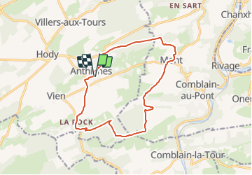
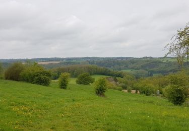
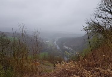
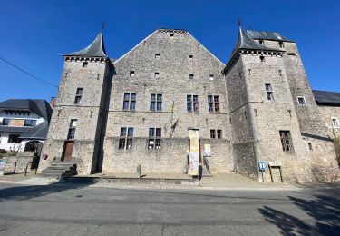
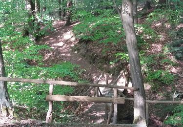
Trail On foot of 13.3 km to be discovered at Wallonia, Liège, Anthisnes. This trail is proposed by Commissariat général au Tourisme.

Description

Trail created by Ourthe Vesdre Amblève.

Elevation profile

Photos

Positioning

Country:
Belgium
Region :
Wallonia
Department/Province :
Liège
Municipality :
Anthisnes
Location:
Unknown
Start:(UTM)
679112 ; 5595030 (31U) N.

Comments

Please log in to post a review or rate the element


Close
My subscriptions