


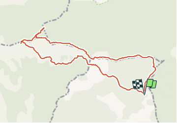
l'amarron et son dolmen au départ de Garréoult la Gabelle

chrifor
User


6h08
Difficulty : Medium

FREE GPS app for hiking
 SityTrail
IGN / Geographical institutes
SityTrail Plus
The world is yours!
About
Trail Walking of 11.5 km to be discovered at Provence-Alpes-Côte d'Azur, Var, Garéoult. This trail is proposed by chrifor.
Description
Le chemin du Vallon de Cavaillon n'a rien d'agréable (très creusé, caillouteux, tristounet...). Mieux vaut utiliser le tracé sud en A/R et rejoindre la montée à la cote 652.
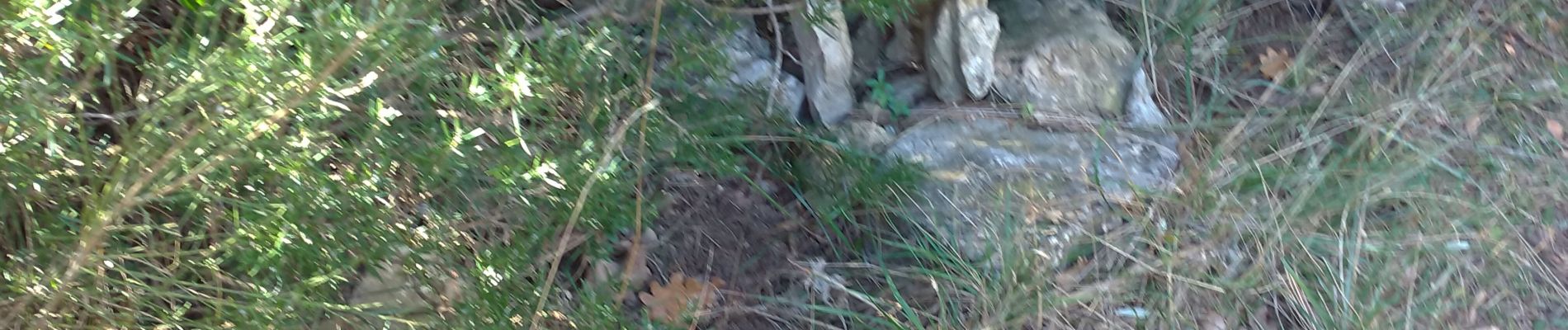
Le dolmen, effondré, est situé de suite à gauche en arrivant sur le plateau (cairns).
Rando parcourue le 08/02/2022
Photos


Positioning
Comments