


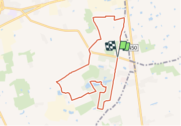
Ardooieveld wandelroute

SityTrail - itinéraires balisés pédestres
Tous les sentiers balisés d’Europe GUIDE+


2h03
Difficulty : Easy

FREE GPS app for hiking
 SityTrail
IGN / Geographical institutes
SityTrail Plus
The world is yours!
About
Trail On foot of 8.2 km to be discovered at Flanders, West Flanders, Ardooie. This trail is proposed by SityTrail - itinéraires balisés pédestres.
Description
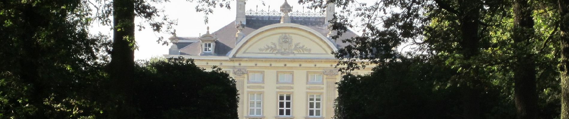
De Ardooieveldwandelroute is een echte bos- en parkwandeling. Je maakt kennis met het kasteel en domein van Ardooie en het provinciedomein 't Veld.
Photos


Positioning
Comments