


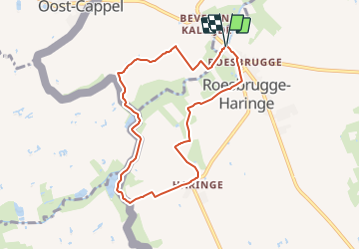
Dode IJzer wandelroute

SityTrail - itinéraires balisés pédestres
Tous les sentiers balisés d’Europe GUIDE+


1h41
Difficulty : Easy

FREE GPS app for hiking
 SityTrail
IGN / Geographical institutes
SityTrail Plus
The world is yours!
About
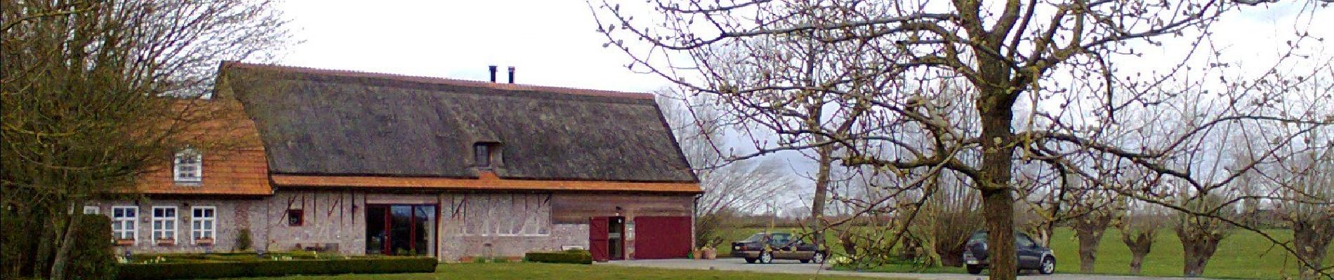
Trail On foot of 7.1 km to be discovered at Flanders, West Flanders, Poperinge. This trail is proposed by SityTrail - itinéraires balisés pédestres.
Description
Verken de omgeving van Poperinge en Roesbrugge-Haringe. Je start aan de Dode IJzer, een oude meander van de stroom die door het centrum van Roesbrugge vloeit. Een natuurexploratiepad leidt langs de Zwijnbeek, de IJzer en de Heidebeek. Zij vormen een natuurlijke landsgrens. Via land-, kerk- en rustige wegen kom je in het pittoreske dorpje Haringe. De stille wegen kenmerken deze
Photos


Positioning
Comments