


Autopédestre Mamer 1

SityTrail - itinéraires balisés pédestres
Tous les sentiers balisés d’Europe GUIDE+
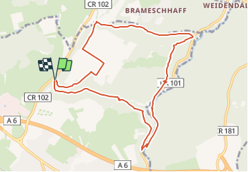

Length
9.5 km

Max alt
355 m

Uphill gradient
226 m
Km-Effort
12.5 km

Min alt
276 m

Downhill gradient
220 m
Boucle
Yes

Signpost
Creation date :
2022-02-09 15:11:39.622
Updated on :
2022-02-09 17:56:22.59
2h49
Difficulty : Easy

FREE GPS app for hiking
 SityTrail
IGN / Geographical institutes
SityTrail Plus
The world is yours!
About
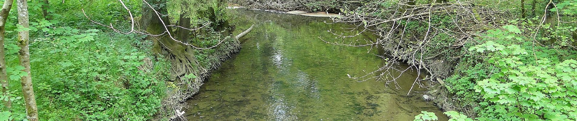
Trail On foot of 9.5 km to be discovered at Unknown, Canton Capellen, Mamer. This trail is proposed by SityTrail - itinéraires balisés pédestres.
Photos


Positioning
Country:
Luxembourg
Region :
Unknown
Department/Province :
Canton Capellen
Municipality :
Mamer
Location:
Mamer
Start:(Dec)
Start:(UTM)
285170 ; 5503455 (32U) N.
Comments