Trail On foot Dippach - Auto-Pédestre Dippach - Photo

Auto-Pédestre Dippach

Tous les sentiers balisés d’Europe GUIDE+
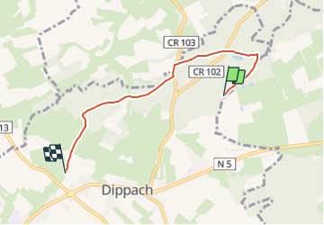
© OpenStreetMap contributors
Length
Length
4.4 km
Max alt
Max alt
375 m
Uphill gradient
Uphill gradient
107 m
Km-Effort
Km-Effort  
5.7 km
Min alt
Min alt
316 m
Downhill gradient
Downhill gradient
76 m
Boucle
Boucle
No
Signpost
Signpost
Creation date :
2022-02-09 15:19:35.078
Updated on :
2022-02-09 18:01:04.719

(0 Reviews)

On foot
On foot
1h17
Difficulty : Easy

Scan this QR Code to open this trail in the SityTrail application

FREE GPS app for hiking

Logo SityTrail SityTrail

IGN / Geographical institutes

Download SityTrail from the App Store Download SityTrail from Google Play

Logo SityTrail SityTrail Plus

The world is yours!

Download SityTrail from the App Store Download SityTrail from Google Play Download SityTrail on Huawei AppGallery

About

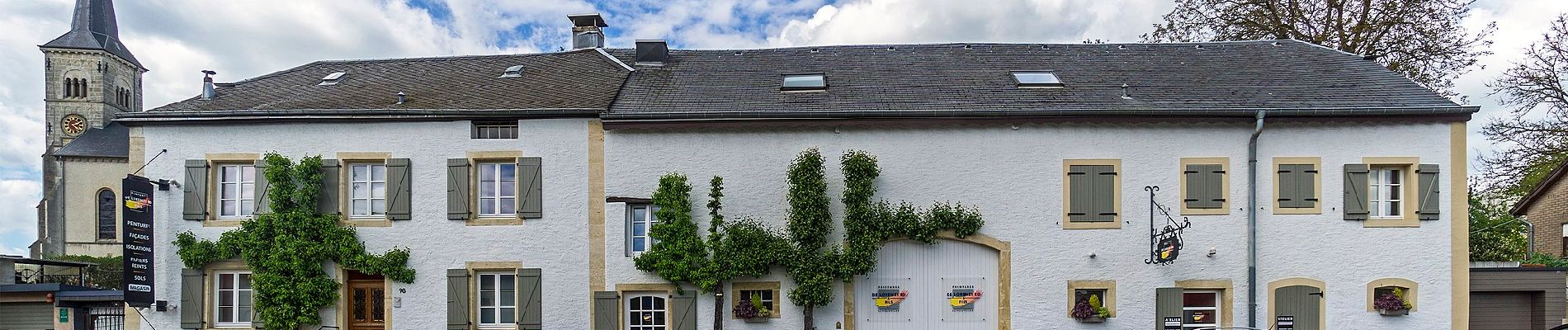
Trail On foot of 4.4 km to be discovered at Unknown, Canton Capellen, Dippach. This trail is proposed by SityTrail - itinéraires balisés pédestres.

Description

Trail created by Ministère de l´Économie.


Website: https://map.geoportail.lu/theme/tourisme?fid=176_1306417

Elevation profile

Photos

Positioning

Country:
Luxembourg
Region :
Unknown
Department/Province :
Canton Capellen
Municipality :
Dippach
Location:
Unknown
Start:(UTM)
716765 ; 5498380 (31U) N.


Close
My subscriptions