


FB Mertert

SityTrail - itinéraires balisés pédestres
Tous les sentiers balisés d’Europe GUIDE+
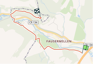

Length
9.6 km

Max alt
286 m

Uphill gradient
256 m
Km-Effort
13 km

Min alt
135 m

Downhill gradient
265 m
Boucle
Yes

Signpost
Creation date :
2022-02-09 15:28:16.333
Updated on :
2022-03-10 09:28:24.547
2h57
Difficulty : Easy

FREE GPS app for hiking
 SityTrail
IGN / Geographical institutes
SityTrail Plus
The world is yours!
About
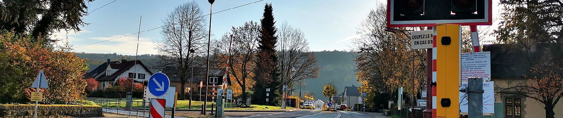
Trail On foot of 9.6 km to be discovered at Unknown, Canton Grevenmacher, Mertert. This trail is proposed by SityTrail - itinéraires balisés pédestres.
Photos


Positioning
Country:
Luxembourg
Region :
Unknown
Department/Province :
Canton Grevenmacher
Municipality :
Mertert
Location:
Unknown
Start:(Dec)
Start:(UTM)
317517 ; 5508786 (32U) N.
Comments