


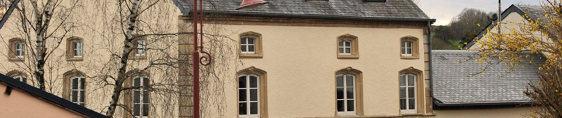
Former FB Reckange

SityTrail - itinéraires balisés pédestres
Tous les sentiers balisés d’Europe GUIDE+
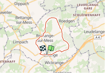

Length
10.1 km

Max alt
365 m

Uphill gradient
182 m
Km-Effort
12.5 km

Min alt
285 m

Downhill gradient
184 m
Boucle
Yes

Signpost
Creation date :
2022-02-09 15:30:36.088
Updated on :
2022-02-09 18:07:29.843
2h50
Difficulty : Easy

FREE GPS app for hiking
 SityTrail
IGN / Geographical institutes
SityTrail Plus
The world is yours!
About
Trail On foot of 10.1 km to be discovered at Unknown, Canton Esch-sur-Alzette, Reckange-sur-Mess. This trail is proposed by SityTrail - itinéraires balisés pédestres.
Photos


Positioning
Country:
Luxembourg
Region :
Unknown
Department/Province :
Canton Esch-sur-Alzette
Municipality :
Reckange-sur-Mess
Location:
Unknown
Start:(Dec)
Start:(UTM)
283847 ; 5492696 (32U) N.
Comments