


A5. Promenade de la Fagne du Gayet

SityTrail - itinéraires balisés pédestres
Tous les sentiers balisés d’Europe GUIDE+
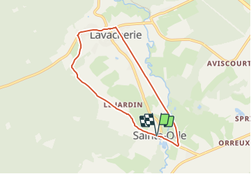

Length
6.1 km

Max alt
445 m

Uphill gradient
119 m
Km-Effort
7.7 km

Min alt
364 m

Downhill gradient
115 m
Boucle
Yes

Signpost
Creation date :
2022-02-09 18:34:45.244
Updated on :
2022-02-09 18:34:45.244
1h44
Difficulty : Easy

FREE GPS app for hiking
 SityTrail
IGN / Geographical institutes
SityTrail Plus
The world is yours!
About
Trail On foot of 6.1 km to be discovered at Wallonia, Luxembourg, Sainte-Ode. This trail is proposed by SityTrail - itinéraires balisés pédestres.
Description
Trail created by Syndicat d'Initiative Sainte-Ode.
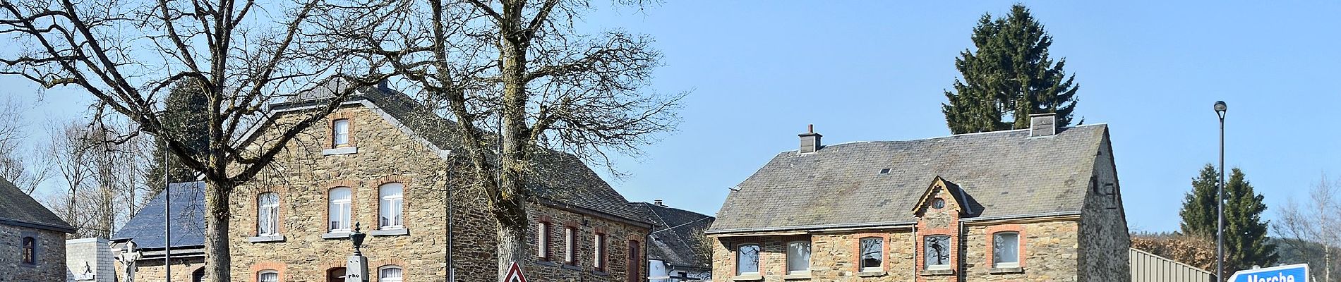
Photos


Positioning
Country:
Belgium
Region :
Wallonia
Department/Province :
Luxembourg
Municipality :
Sainte-Ode
Location:
Unknown
Start:(Dec)
Start:(UTM)
680741 ; 5545706 (31U) N.
Comments