Trail On foot Mol - De Maat oranje - Photo

De Maat oranje

Tous les sentiers balisés d’Europe GUIDE+

© OpenStreetMap contributors
Length
Length
7.5 km
Max alt
Max alt
46 m
Uphill gradient
Uphill gradient
49 m
Km-Effort
Km-Effort  
8.2 km
Min alt
Min alt
31 m
Downhill gradient
Downhill gradient
49 m
Boucle
Boucle
Yes
Signpost
Signpost
Creation date :
2022-02-09 18:47:24.51
Updated on :
2022-02-09 18:47:24.51

(0 Reviews)

On foot
On foot
1h51
Difficulty : Easy

Scan this QR Code to open this trail in the SityTrail application

FREE GPS app for hiking

Logo SityTrail SityTrail

IGN / Geographical institutes

Download SityTrail from the App Store Download SityTrail from Google Play

Logo SityTrail SityTrail Plus

The world is yours!

Download SityTrail from the App Store Download SityTrail from Google Play Download SityTrail on Huawei AppGallery

About

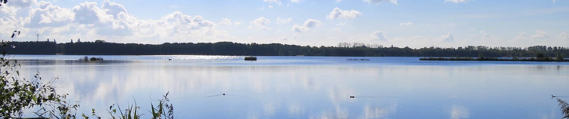
Trail On foot of 7.5 km to be discovered at Flanders, Antwerp, Mol. This trail is proposed by SityTrail - itinéraires balisés pédestres.

Description

Bosland is overdadig genieten van verrassende natuur, elke dag weer een beetje anders. Voor kinderen is Bosland één groots avonturenbos: ravotten in de...

Website: https://www.bosland.be/ontdek-bosland/wandelen/blauwe-kei-de-maat/38/

Elevation profile

Photos

Positioning

Country:
Belgium
Region :
Flanders
Department/Province :
Antwerp
Municipality :
Mol
Location:
Unknown
Start:(UTM)
652860 ; 5676310 (31U) N.


Close
My subscriptions