W7 Hiking Tour

SityTrail - itinéraires balisés pédestres
Tous les sentiers balisés d’Europe GUIDE+
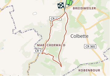

Length
5.8 km

Max alt
377 m

Uphill gradient
134 m
Km-Effort
7.5 km

Min alt
265 m

Downhill gradient
127 m
Boucle
Yes

Signpost
Creation date :
2022-02-09 19:17:07.339
Updated on :
2022-03-10 10:37:38.252
1h42
Difficulty : Easy

FREE GPS app for hiking
 SityTrail
IGN / Geographical institutes
SityTrail Plus
The world is yours!
About
Trail On foot of 5.8 km to be discovered at Unknown, Canton Echternach, Consdorf. This trail is proposed by SityTrail - itinéraires balisés pédestres.
Description
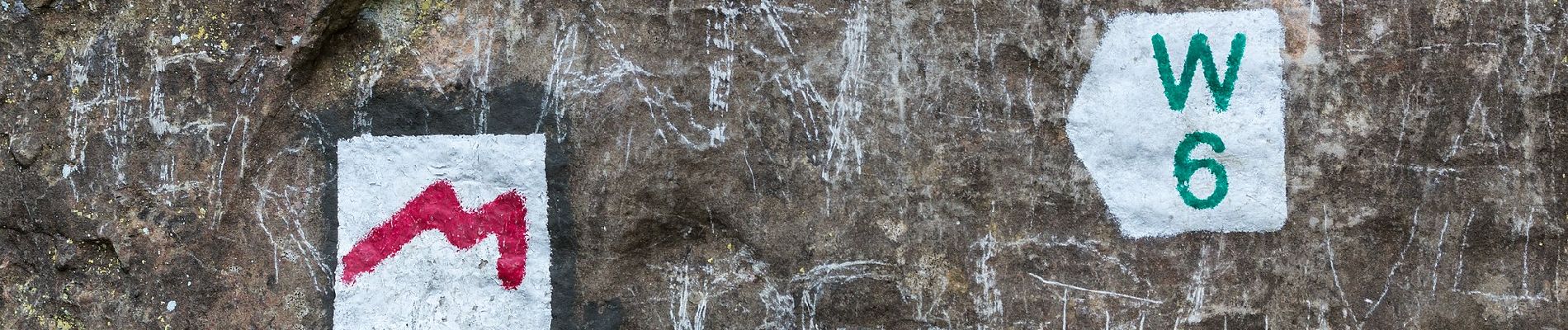
Symbol: Grünes W7 auf weißem Grund
Photos


Positioning
Country:
Luxembourg
Region :
Unknown
Department/Province :
Canton Echternach
Municipality :
Consdorf
Location:
Unknown
Start:(Dec)
Start:(UTM)
305073 ; 5517411 (32U) N.
Comments