


De Hoge Rielen rode lus

SityTrail - itinéraires balisés pédestres
Tous les sentiers balisés d’Europe GUIDE+
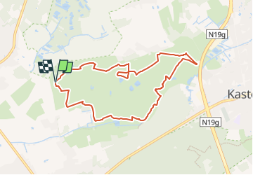

Length
7.9 km

Max alt
32 m

Uphill gradient
44 m
Km-Effort
8.5 km

Min alt
18 m

Downhill gradient
43 m
Boucle
Yes

Signpost
Creation date :
2022-02-09 19:20:13.958
Updated on :
2022-02-09 19:20:13.958
1h55
Difficulty : Easy

FREE GPS app for hiking
 SityTrail
IGN / Geographical institutes
SityTrail Plus
The world is yours!
About
Trail On foot of 7.9 km to be discovered at Flanders, Antwerp, Kasterlee. This trail is proposed by SityTrail - itinéraires balisés pédestres.
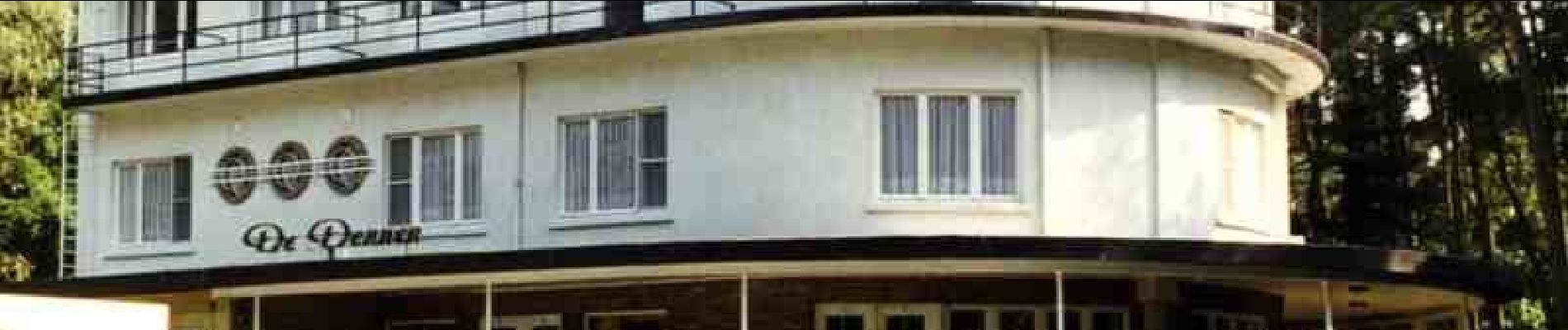
Photos


Positioning
Country:
Belgium
Region :
Flanders
Department/Province :
Antwerp
Municipality :
Kasterlee
Location:
Lichtaart
Start:(Dec)
Start:(UTM)
634002 ; 5678547 (31U) N.
Comments