


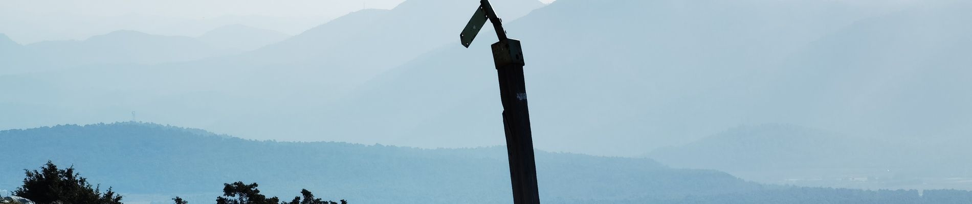
la sainte baume

bernir
User
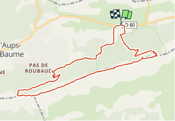

Length
12.8 km

Max alt
1019 m

Uphill gradient
474 m
Km-Effort
19.1 km

Min alt
664 m

Downhill gradient
474 m
Boucle
Yes
Creation date :
2022-02-10 07:35:20.939
Updated on :
2022-02-11 19:40:31.058
24h44
Difficulty : Medium

FREE GPS app for hiking
 SityTrail
IGN / Geographical institutes
SityTrail Plus
The world is yours!
About
Trail Walking of 12.8 km to be discovered at Provence-Alpes-Côte d'Azur, Var, Plan-d'Aups-Sainte-Baume. This trail is proposed by bernir.
Photos


Positioning
Country:
France
Region :
Provence-Alpes-Côte d'Azur
Department/Province :
Var
Municipality :
Plan-d'Aups-Sainte-Baume
Location:
Unknown
Start:(Dec)
Start:(UTM)
723513 ; 4801764 (31T) N.
Comments