


9.2 km | 12 km-effort


Tous les sentiers balisés d’Europe PRO


FREE GPS app for hiking
 SityTrail
IGN / Geographical institutes
SityTrail World
The world is yours!
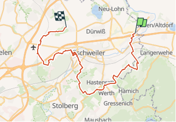
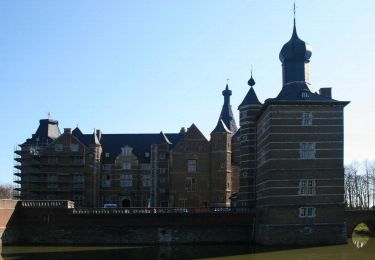
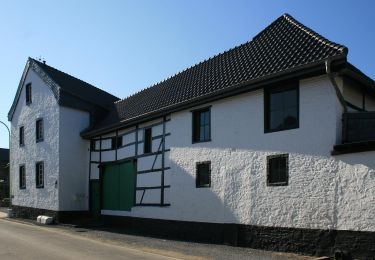
Trail On foot of 29 km to be discovered at North Rhine-Westphalia, Städteregion Aachen, Eschweiler. This trail is proposed by SityTrail - itinéraires balisés pédestres.
Trail created by Eifelverein Eschweiler.
Symbol: schwarze 5 auf weissem Grund


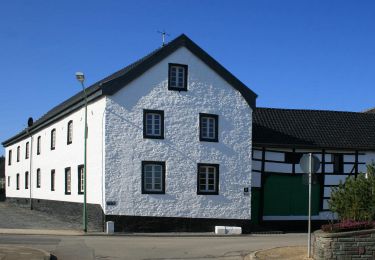
On foot
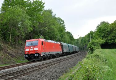
On foot
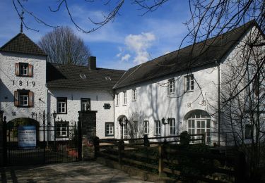
On foot
On foot
On foot

On foot

On foot
On foot

On foot