


Breiter-Wald-Tour

SityTrail - itinéraires balisés pédestres
Tous les sentiers balisés d’Europe GUIDE+
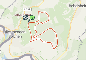

Length
8.5 km

Max alt
362 m

Uphill gradient
176 m
Km-Effort
10.8 km

Min alt
277 m

Downhill gradient
174 m
Boucle
Yes

Signpost
Creation date :
2022-02-11 12:55:10.959
Updated on :
2022-02-11 12:55:10.959
2h27
Difficulty : Easy

FREE GPS app for hiking
 SityTrail
IGN / Geographical institutes
SityTrail Plus
The world is yours!
About
Trail On foot of 8.5 km to be discovered at Saarland, Saarpfalz-Kreis, Mandelbachtal. This trail is proposed by SityTrail - itinéraires balisés pédestres.
Description
Trail created by Nature.Fitness.Park.
Symbol: 2
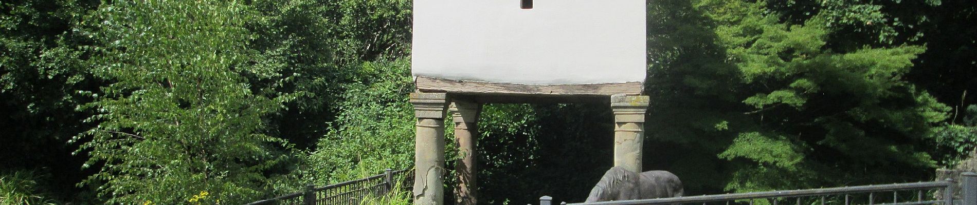
Photos


Positioning
Country:
Germany
Region :
Saarland
Department/Province :
Saarpfalz-Kreis
Municipality :
Mandelbachtal
Location:
Bliesmengen-Bolchen
Start:(Dec)
Start:(UTM)
363298 ; 5446607 (32U) N.
Comments