


Mattheiser Wald Rundweg II

SityTrail - itinéraires balisés pédestres
Tous les sentiers balisés d’Europe GUIDE+


Length
8.3 km

Max alt
370 m

Uphill gradient
185 m
Km-Effort
10.7 km

Min alt
229 m

Downhill gradient
189 m
Boucle
Yes

Signpost
Creation date :
2022-02-11 15:35:03.677
Updated on :
2022-02-11 15:35:03.677
2h26
Difficulty : Easy

FREE GPS app for hiking
 SityTrail
IGN / Geographical institutes
SityTrail Plus
The world is yours!
About
Trail On foot of 8.3 km to be discovered at Rhineland-Palatinate, Trier, Unknown. This trail is proposed by SityTrail - itinéraires balisés pédestres.
Description
Symbol: Grüne II auf weißem Grund
Photos


Positioning
Country:
Germany
Region :
Rhineland-Palatinate
Department/Province :
Trier
Municipality :
Unknown
Location:
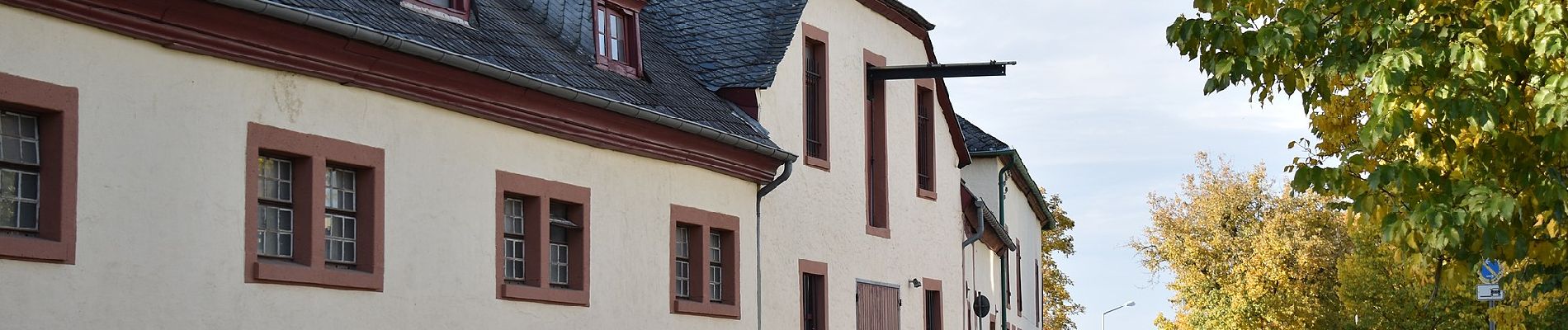
Mariahof
Start:(Dec)
Start:(UTM)
331086 ; 5510714 (32U) N.
Comments