


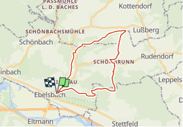

9.6 km | 12.3 km-effort

Tous les sentiers balisés d’Europe PRO


FREE GPS app for hiking
 SityTrail
IGN / Geographical institutes
SityTrail World
The world is yours!
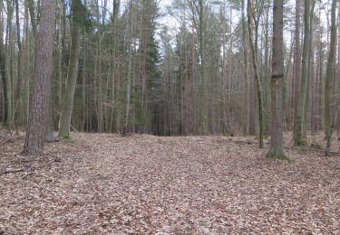
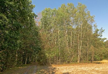
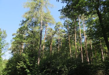
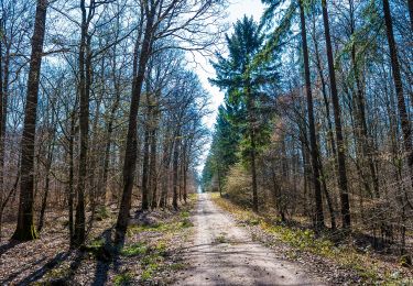
Trail On foot of 12.5 km to be discovered at Bavaria, Landkreis Haßberge, Ebelsbach. This trail is proposed by SityTrail - itinéraires balisés pédestres.
Trail created by Wanderabteilung SC Rapid Ebelsbach.
Symbol: Schwarze Maus auf gelbem Hintergrund


On foot

On foot
On foot
On foot
On foot
On foot
On foot
On foot
On foot