


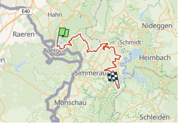
Kall-Rur-Panorama-Route

SityTrail - itinéraires balisés pédestres
Tous les sentiers balisés d’Europe GUIDE+

Length
47 km

Max alt
596 m

Uphill gradient
1188 m
Km-Effort
64 km

Min alt
281 m

Downhill gradient
1277 m
Boucle
No

Signpost
Creation date :
2022-02-11 16:19:06.743
Updated on :
2022-02-11 16:19:06.743
14h25
Difficulty : Very difficult

FREE GPS app for hiking
 SityTrail
IGN / Geographical institutes
SityTrail Plus
The world is yours!
About
Trail On foot of 47 km to be discovered at North Rhine-Westphalia, Städteregion Aachen, Roetgen. This trail is proposed by SityTrail - itinéraires balisés pédestres.
Description
Symbol: green:green:blue_bar:KRP:white
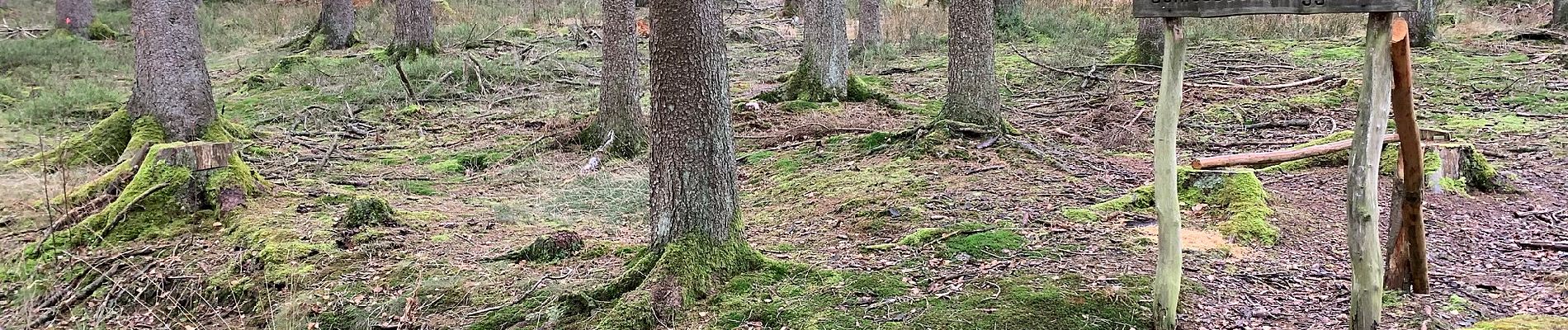
Photos


Positioning
Country:
Germany
Region :
North Rhine-Westphalia
Department/Province :
Städteregion Aachen
Municipality :
Roetgen
Location:
Unknown
Start:(Dec)
Start:(UTM)
302474 ; 5615660 (32U) N.
Comments