


JFT YB Étape 39 6-6-2014

jeff2
User


Length
45 km

Max alt
259 m

Uphill gradient
784 m
Km-Effort
56 km

Min alt
37 m

Downhill gradient
925 m
Boucle
No
Creation date :
2014-12-10 00:00:00.0
Updated on :
2014-12-10 00:00:00.0
9h45
Difficulty : Medium

FREE GPS app for hiking
 SityTrail
IGN / Geographical institutes
SityTrail Plus
The world is yours!
About
Trail Walking of 45 km to be discovered at Asturias, Asturias. This trail is proposed by jeff2.
Description
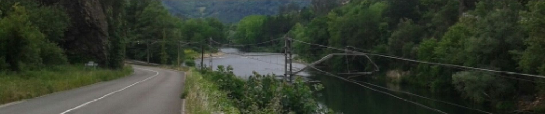
POLA de SIERO à Grado
Photos


25 photos in total. Please click on a photo to see them all in the gallery.


Positioning
Country:
Spain
Region :
Asturias
Department/Province :
Asturias
Municipality :
Siero
Location:
Unknown
Start:(Dec)
Start:(UTM)
283690 ; 4807803 (30T) N.
Comments