


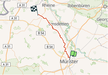

59 km | 65 km-effort

Tous les sentiers balisés d’Europe PRO


FREE GPS app for hiking
 SityTrail
IGN / Geographical institutes
SityTrail World
The world is yours!
Trail On foot of 45 km to be discovered at North Rhine-Westphalia, Münster, Unknown. This trail is proposed by SityTrail - itinéraires balisés pédestres.
Trail created by Westfälischer Heimatbund.
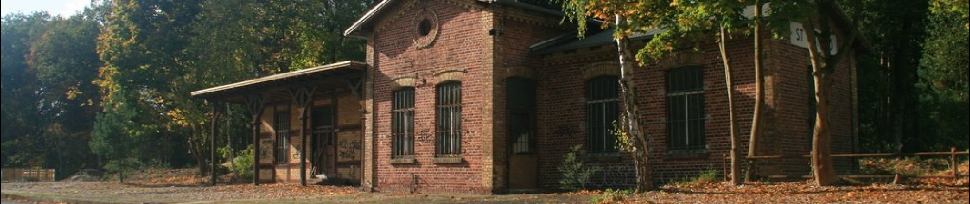
Symbol: Weißes X teilweise mit kleineren Buchstaben MA auf schwarzem Grund oder nur weißes X auf Baum
Website: https://www.whb.nrw/de/wanderwege/wanderwege/themenwege/max-clemens-kanal-wanderweg/


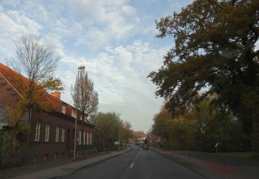
On foot