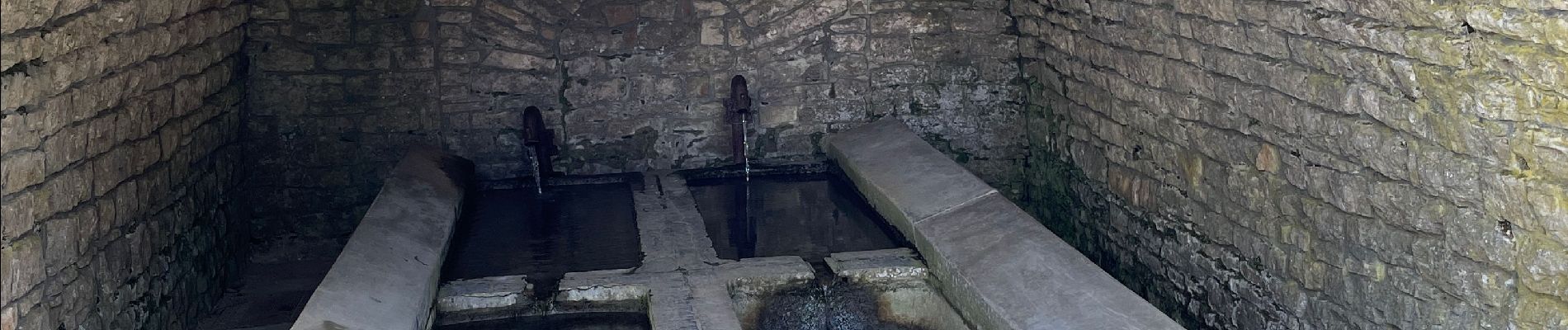
Ermitage de Wachet depuis Châtillon

francoisecarlier
User

Length
13.5 km

Max alt
358 m

Uphill gradient
241 m
Km-Effort
16.7 km

Min alt
255 m

Downhill gradient
239 m
Boucle
Yes
Creation date :
2022-02-13 09:08:34.0
Updated on :
2022-02-13 12:01:17.915
2h52
Difficulty : Very easy

FREE GPS app for hiking
 SityTrail
IGN / Geographical institutes
SityTrail Plus
The world is yours!
About
Trail Walking of 13.5 km to be discovered at Wallonia, Luxembourg, Saint-Léger. This trail is proposed by francoisecarlier.
Photos


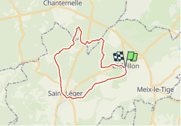
Positioning
Country:
Belgium
Region :
Wallonia
Department/Province :
Luxembourg
Municipality :
Saint-Léger
Location:
Unknown
Start:(Dec)
Start:(UTM)
694863 ; 5500397 (31U) N.
Comments