


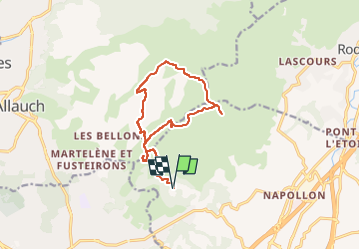


8.8 km | 12.8 km-effort

User GUIDE


FREE GPS app for hiking
 SityTrail
IGN / Geographical institutes
SityTrail World
The world is yours!
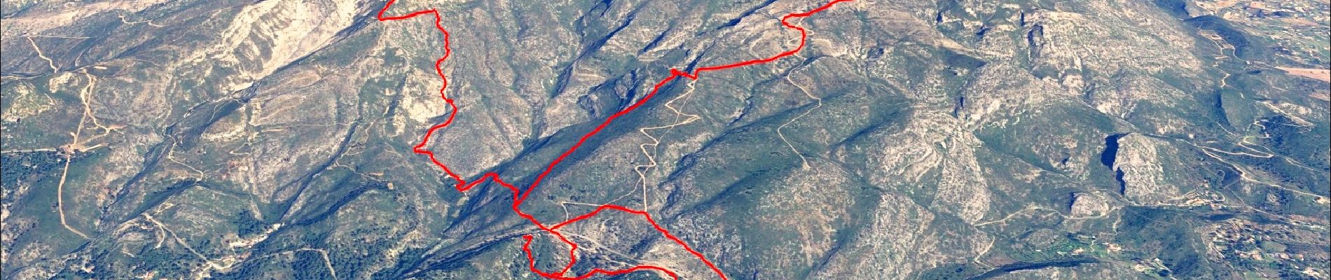
Trail Walking of 14.2 km to be discovered at Provence-Alpes-Côte d'Azur, Bouches-du-Rhône, Aubagne. This trail is proposed by affinetataille.
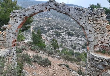
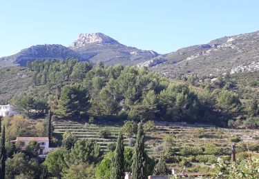
Belle randonnée niveau N3S.
Magnifiques points de vues tout au long du parcours.
Passage par points de tournages des films de Marcel Pagnol.
Une curiosité : les gravures de Louis Drouard (si vous avez de la chance il sera sur le site pour vous donner toutes les explications).


23 photos in total. Please click on a photo to see them all in the gallery.
Walking

On foot

Walking
Walking
Other activity
Walking

Walking
Walking

Walking