


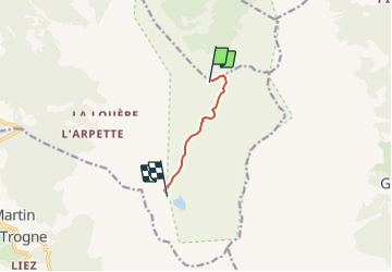

6.3 km | 9.8 km-effort

Tous les sentiers balisés d’Europe PRO


FREE GPS app for hiking
 SityTrail
IGN / Geographical institutes
SityTrail World
The world is yours!
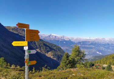
Trail On foot of 4.1 km to be discovered at Valais/Wallis, Hérens, Mont-Noble. This trail is proposed by SityTrail - itinéraires balisés pédestres.
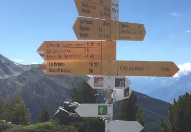
L'Ar du Tsan - Le Louché Lac (B)
Symbol: Roter Balken auf weissem Rechteck
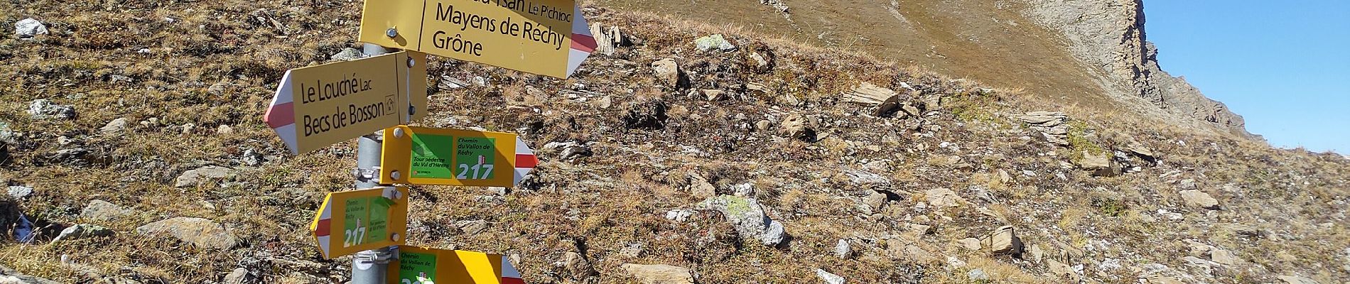
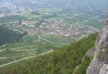
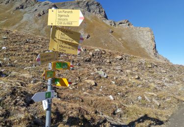
 - Photo 1")
 - Photo 2")
 - Photo 3")
 - Photo 4")
 - Photo 5")
 - Photo 6")
 - Photo 7")
 - Photo 8")
On foot
On foot
On foot
On foot

On foot

Walking

On foot

Walking
Walking