


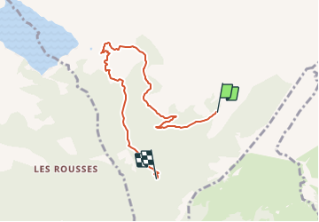

7.1 km | 10.9 km-effort

Tous les sentiers balisés d’Europe PRO


FREE GPS app for hiking
 SityTrail
IGN / Geographical institutes
SityTrail World
The world is yours!
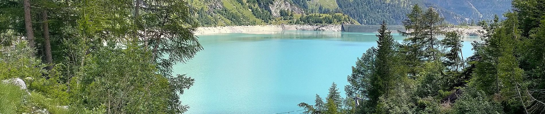
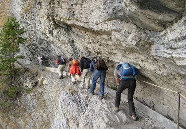
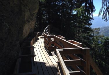
Trail On foot of 6.4 km to be discovered at Valais/Wallis, Sierre, Icogne. This trail is proposed by SityTrail - itinéraires balisés pédestres.
Er de Chermignon-Pra du Taillour


Walking

Mountain bike

On foot
On foot

On foot

Mountain bike

Walking
Other activity
Walking