


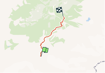

3.1 km | 9.2 km-effort


Tous les sentiers balisés d’Europe PRO


FREE GPS app for hiking
 SityTrail
IGN / Geographical institutes
SityTrail World
The world is yours!
Trail On foot of 3 km to be discovered at Bern, Interlaken-Oberhasli administrative district, Lauterbrunnen. This trail is proposed by SityTrail - itinéraires balisés pédestres.
Trail created by Berner Wanderwege.
Schmadrihütte - Schwand
Symbol: weiss-rot-weiss
On foot
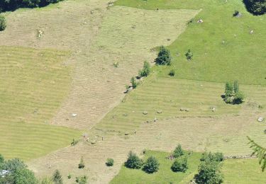
![Trail Other activity Lauterbrunnen - Oberhornsee [loop/boucle/Rundwand.] - Photo](https://media.geolcdn.com/t/375/260/ext.jpg?maxdim=2&url=https%3A%2F%2Fstatic1.geolcdn.com%2Fsiteimages%2Fupload%2Ffiles%2F1545311037marcheuse_200dpi.jpg)
Other activity