


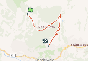

4.4 km | 12.8 km-effort

Tous les sentiers balisés d’Europe PRO


FREE GPS app for hiking
 SityTrail
IGN / Geographical institutes
SityTrail World
The world is yours!
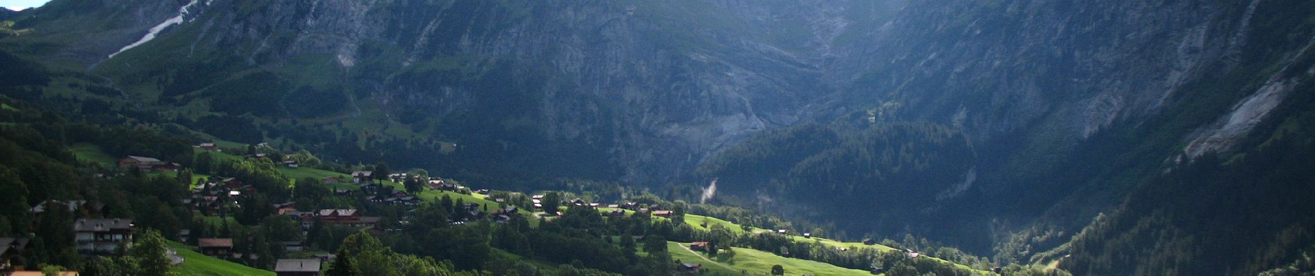
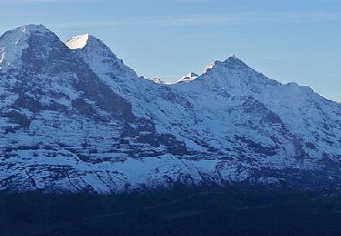
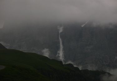
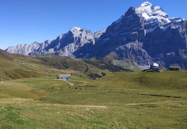
Trail On foot of 5.1 km to be discovered at Bern, Interlaken-Oberhasli administrative district, Grindelwald. This trail is proposed by SityTrail - itinéraires balisés pédestres.
Trail created by Berner Wanderwege.
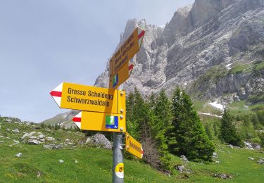
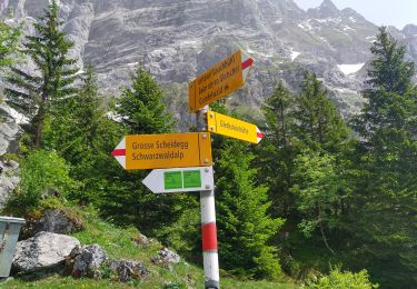
Holewang - fixme
Symbol: gelbe Raute


On foot
On foot
On foot
On foot
Walking

Other activity

Walking

Mountain bike
On foot