


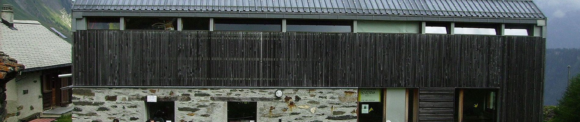
Il sentiero degli stambecchi

SityTrail - itinéraires balisés pédestres
Tous les sentiers balisés d’Europe GUIDE+
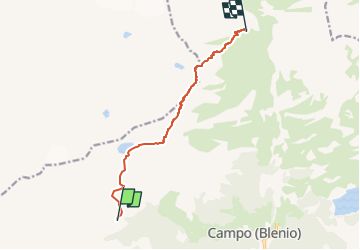

Length
8.2 km

Max alt
2805 m

Uphill gradient
945 m
Km-Effort
20 km

Min alt
1854 m

Downhill gradient
801 m
Boucle
No

Signpost
Creation date :
2022-02-14 08:58:14.208
Updated on :
2022-02-14 08:58:14.208
4h37
Difficulty : Medium

FREE GPS app for hiking
 SityTrail
IGN / Geographical institutes
SityTrail Plus
The world is yours!
About
Trail On foot of 8.2 km to be discovered at Ticino, Distretto di Blenio, Blenio. This trail is proposed by SityTrail - itinéraires balisés pédestres.
Description
Symbol: weiss-rot-weiss
Photos


Positioning
Country:
Switzerland
Region :
Ticino
Department/Province :
Distretto di Blenio
Municipality :
Blenio
Location:
Unknown
Start:(Dec)
Start:(UTM)
491449 ; 5156272 (32T) N.
Comments