


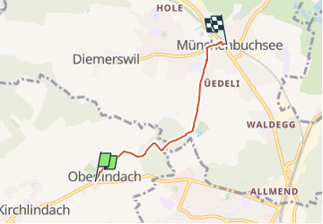
Oberlindach - Münchenbuchsee

SityTrail - itinéraires balisés pédestres
Tous les sentiers balisés d’Europe GUIDE+

Length
3.5 km

Max alt
613 m

Uphill gradient
23 m
Km-Effort
3.9 km

Min alt
554 m

Downhill gradient
64 m
Boucle
No

Signpost
Creation date :
2022-02-14 08:59:23.307
Updated on :
2022-02-14 08:59:23.307
53m
Difficulty : Easy

FREE GPS app for hiking
 SityTrail
IGN / Geographical institutes
SityTrail Plus
The world is yours!
About
Trail On foot of 3.5 km to be discovered at Bern, Bern-Mittelland administrative district, Kirchlindach. This trail is proposed by SityTrail - itinéraires balisés pédestres.
Description
Trail created by Berner Wanderwege.
Symbol: gelber Rhombus
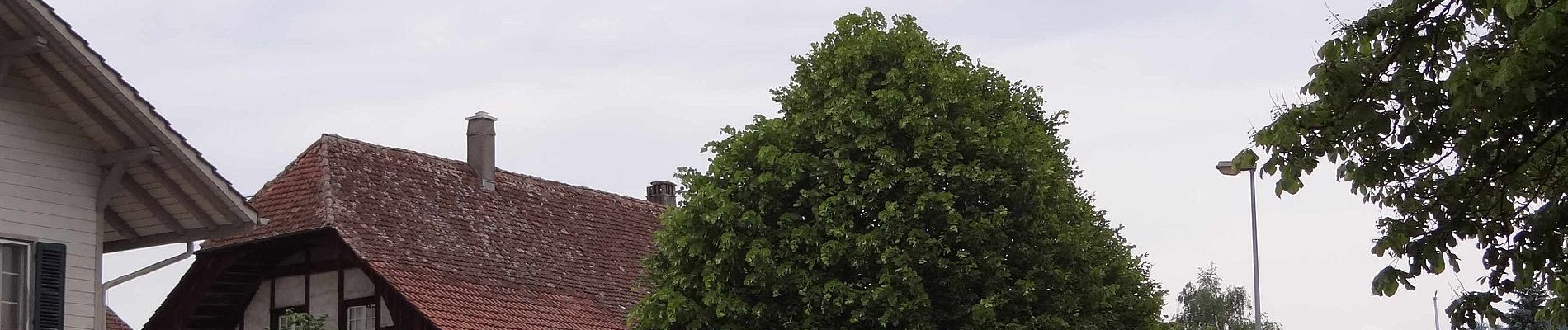
Photos


Positioning
Country:
Switzerland
Region :
Bern
Department/Province :
Bern-Mittelland administrative district
Municipality :
Kirchlindach
Location:
Unknown
Start:(Dec)
Start:(UTM)
380369 ; 5206747 (32T) N.
Comments