Trail On foot Neftenbach - Tössegg-Klettgau-Weg - Photo

Tous les sentiers balisés d’Europe PRO

© OpenStreetMap contributors
Length
Length
18.9 km
Max alt
Max alt
439 m
Uphill gradient
Uphill gradient
315 m
Km-Effort
Km-Effort  
23 km
Min alt
Min alt
341 m
Downhill gradient
Downhill gradient
283 m
Boucle
Boucle
No
Signpost
Signpost
Creation date :
2022-02-14 09:08:15.615
Updated on :
2022-02-14 09:08:15.615

(0 Reviews)

On foot
On foot
5h12
Difficulty : Medium

Scan this QR Code to open this trail in the SityTrail application

FREE GPS app for hiking

Logo SityTrail SityTrail

IGN / Geographical institutes

Download SityTrail from the App Store Download SityTrail from Google Play

Logo SityTrail SityTrail World

The world is yours!

Download SityTrail from the App Store Download SityTrail from Google Play Download SityTrail on Huawei AppGallery

About

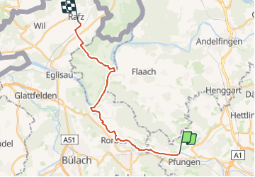
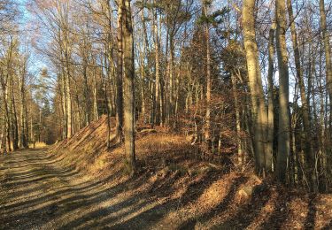
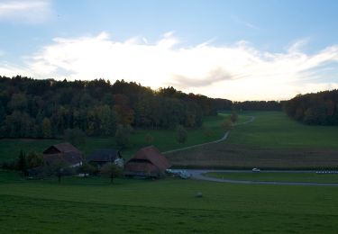
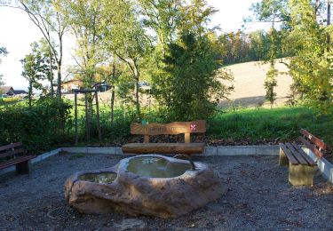
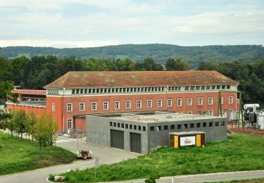
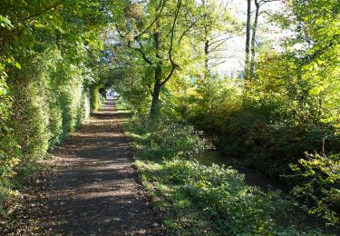
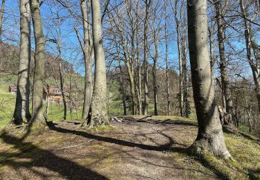
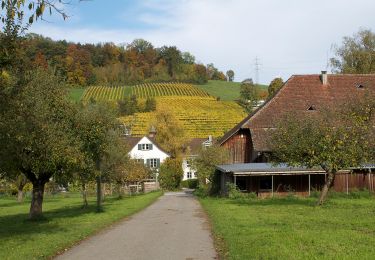
Trail On foot of 18.9 km to be discovered at Zurich, Bezirk Winterthur, Neftenbach. This trail is proposed by SityTrail - itinéraires balisés pédestres.

Description

Trail created by Wanderland Schweiz.

Symbol: Weinrebe zusammen mit schwarzer Schrift Tössegg Klettgau Weg in grünem Quadrat auf gelbem Grund

Photos

Positioning

Country:
Switzerland
Region :
Zurich
Department/Province :
Bezirk Winterthur
Municipality :
Neftenbach
Location:
Unknown
Start:(UTM)
472931 ; 5263164 (32T) N.

Trails nearby

Trail On foot Pfungen - Pfungen - Stiegen - Photo
On foot
PRO

On foot

Easy
Pfungen, Zurich, Bezirk Winterthur, Switzerland
3.7 km | 6.3 km-effort
1h 25min
No
Trail On foot Oberembrach - Oberembrach - Breite - Photo
On foot
PRO

On foot

Easy
Oberembrach, Zurich, Bezirk Bülach, Switzerland
6.8 km | 9.3 km-effort
2h 7min
No
Trail On foot Winterthur - Winterthur Töss - Pfungen - Photo
On foot
PRO

On foot

Easy
Winterthur, Zurich, Bezirk Winterthur, Switzerland
8.3 km | 12.8 km-effort
2h 54min
No
Trail On foot Pfungen - Pfungen - Oberembrach - Photo
On foot
PRO

On foot

Easy
Pfungen, Zurich, Bezirk Winterthur, Switzerland
5.5 km | 8.1 km-effort
1h 50min
No
Trail On foot Oberembrach - Oberembrach - Freienstein - Photo
On foot
PRO

On foot

Easy
Oberembrach, Zurich, Bezirk Bülach, Switzerland
9.8 km | 13.3 km-effort
3h 1min
No
Trail On foot Pfungen - Pfungen - Bülach - Photo
On foot
PRO

On foot

Easy
Pfungen, Zurich, Bezirk Winterthur, Switzerland
13 km | 18.5 km-effort
4h 12min
No
Trail On foot Pfungen - Pfungen - Embrach Unterdorf - Photo
On foot
PRO

On foot

Easy
Pfungen, Zurich, Bezirk Winterthur, Switzerland
5.7 km | 8.2 km-effort
1h 52min
No
Trail On foot Winterthur - Winterthur Töss - Freienstein - Photo
On foot
PRO

On foot

Easy
Winterthur, Zurich, Bezirk Winterthur, Switzerland
12.6 km | 14.2 km-effort
3h 13min
No
Trail On foot Winterthur - Winterthur Töss - Hardau - Photo
On foot
PRO

On foot

Easy
Winterthur, Zurich, Bezirk Winterthur, Switzerland
4.6 km | 5 km-effort
1h 7min
No


Close
My subscriptions