


Tour des Lacs

SityTrail - itinéraires balisés pédestres
Tous les sentiers balisés d’Europe GUIDE+
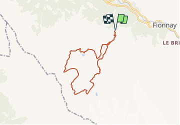

Length
14.2 km

Max alt
2878 m

Uphill gradient
944 m
Km-Effort
27 km

Min alt
2097 m

Downhill gradient
944 m
Boucle
Yes

Signpost
Creation date :
2022-02-14 09:10:57.479
Updated on :
2022-02-14 09:10:57.479
6h04
Difficulty : Medium

FREE GPS app for hiking
 SityTrail
IGN / Geographical institutes
SityTrail Plus
The world is yours!
About
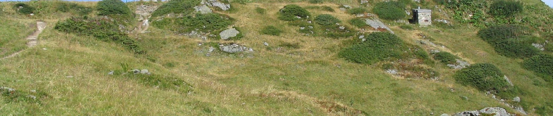
Trail On foot of 14.2 km to be discovered at Valais/Wallis, Entremont, Val de Bagnes. This trail is proposed by SityTrail - itinéraires balisés pédestres.
Photos

Positioning
Country:
Switzerland
Region :
Valais/Wallis
Department/Province :
Entremont
Municipality :
Val de Bagnes
Location:
Unknown
Start:(Dec)
Start:(UTM)
366424 ; 5098852 (32T) N.
Comments