Trail On foot San Cristóbal de La Laguna - 
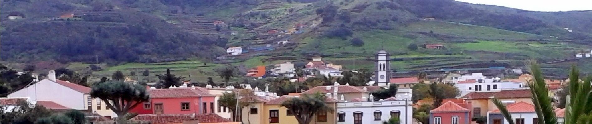
ES-SL-TG 01 Tegueste-Bajamar - Photo

Tous les sentiers balisés d’Europe GUIDE+
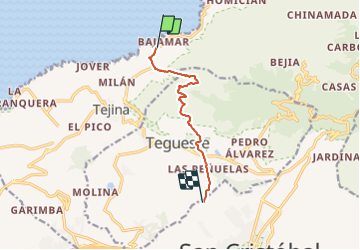
© OpenStreetMap contributors
Length
Length
8.9 km
Max alt
Max alt
706 m
Uphill gradient
Uphill gradient
810 m
Km-Effort
Km-Effort  
17.5 km
Min alt
Min alt
45 m
Downhill gradient
Downhill gradient
152 m
Boucle
Boucle
No
Signpost
Signpost
Creation date :
2022-02-14 14:37:22.959
Updated on :
2022-02-14 14:37:22.959

(0 Reviews)

On foot
On foot
3h59
Difficulty : Easy

Scan this QR Code to open this trail in the SityTrail application

FREE GPS app for hiking

Logo SityTrail SityTrail

IGN / Geographical institutes

Download SityTrail from the App Store Download SityTrail from Google Play

Logo SityTrail SityTrail Plus

The world is yours!

Download SityTrail from the App Store Download SityTrail from Google Play Download SityTrail on Huawei AppGallery

About

Trail On foot of 8.9 km to be discovered at Canary Islands, Santa Cruz de Tenerife, San Cristóbal de La Laguna. This trail is proposed by SityTrail - itinéraires balisés pédestres.

Description

Trail created by Ayuntamiento de Tegueste.

Symbol: parallel horizontal bars green white

Elevation profile

Photos

Positioning

Country:
Spain
Region :
Canary Islands
Department/Province :
Santa Cruz de Tenerife
Municipality :
San Cristóbal de La Laguna
Location:
Unknown
Start:(UTM)
368176 ; 3159079 (28R) N.


Close
My subscriptions