


Subida al Pico del Águila

SityTrail - itinéraires balisés pédestres
Tous les sentiers balisés d’Europe GUIDE+


Length
4.5 km

Max alt
1583 m

Uphill gradient
598 m
Km-Effort
10.5 km

Min alt
981 m

Downhill gradient
2 m
Boucle
No

Signpost
Creation date :
2022-02-14 14:42:19.054
Updated on :
2022-02-14 14:42:19.054
2h23
Difficulty : Easy

FREE GPS app for hiking
 SityTrail
IGN / Geographical institutes
SityTrail Plus
The world is yours!
About
Trail On foot of 4.5 km to be discovered at Aragon, Huesca, Arguis. This trail is proposed by SityTrail - itinéraires balisés pédestres.
Photos


Positioning
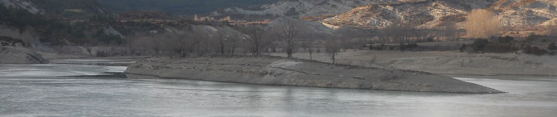
Country:
Spain
Region :
Aragon
Department/Province :
Huesca
Municipality :
Arguis
Location:
Unknown
Start:(Dec)
Start:(UTM)
712059 ; 4687052 (30T) N.
Comments