


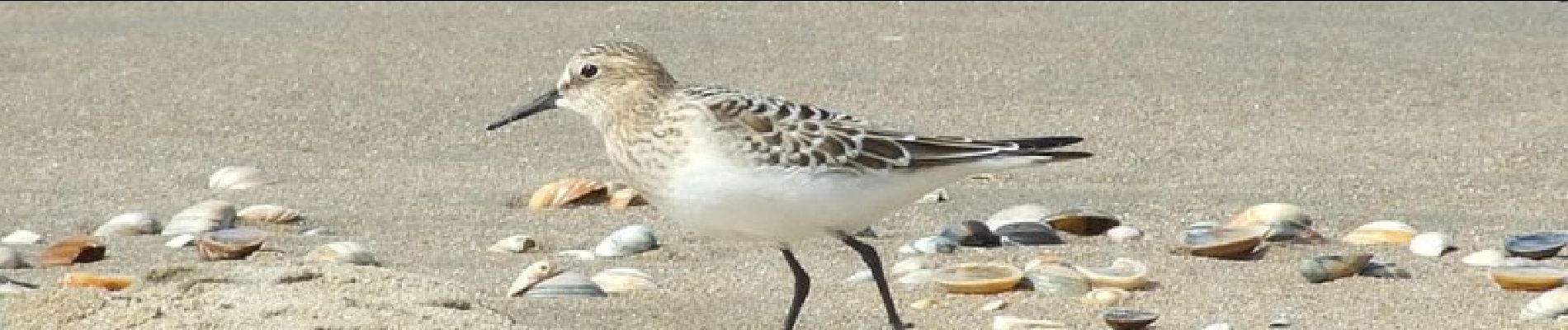
Strandroute

SityTrail - itinéraires balisés pédestres
Tous les sentiers balisés d’Europe GUIDE+
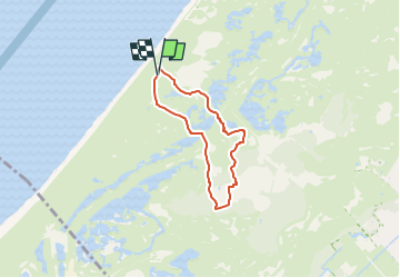

Length
4.4 km

Max alt
12 m

Uphill gradient
25 m
Km-Effort
4.7 km

Min alt
2 m

Downhill gradient
23 m
Boucle
Yes

Signpost
Creation date :
2022-02-14 14:49:02.068
Updated on :
2022-02-14 14:49:02.068
1h04
Difficulty : Easy

FREE GPS app for hiking
 SityTrail
IGN / Geographical institutes
SityTrail Plus
The world is yours!
About
Trail On foot of 4.4 km to be discovered at South Holland, Unknown, Wassenaar. This trail is proposed by SityTrail - itinéraires balisés pédestres.
Description
Trail created by Dunea.
Photos


Positioning
Country:
Netherlands
Region :
South Holland
Department/Province :
Unknown
Municipality :
Wassenaar
Location:
Unknown
Start:(Dec)
Start:(UTM)
590454 ; 5777370 (31U) N.
Comments