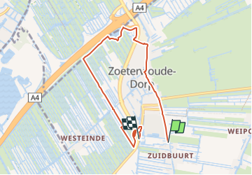
Trail On foot Zoeterwoude - Balkengatroute - Photo

Tous les sentiers balisés d’Europe GUIDE+

© OpenStreetMap contributors
Length
Length
6 km
Max alt
Max alt
2 m
Uphill gradient
Uphill gradient
16 m
Km-Effort
Km-Effort  
6.2 km
Min alt
Min alt
-5 m
Downhill gradient
Downhill gradient
17 m
Boucle
Boucle
No
Signpost
Signpost
Creation date :
2022-02-14 14:53:43.472
Updated on :
2022-02-14 14:53:43.472

(0 Reviews)

On foot
On foot
1h25
Difficulty : Easy

Scan this QR Code to open this trail in the SityTrail application

FREE GPS app for hiking

Logo SityTrail SityTrail

IGN / Geographical institutes

Download SityTrail from the App Store Download SityTrail from Google Play

Logo SityTrail SityTrail Plus

The world is yours!

Download SityTrail from the App Store Download SityTrail from Google Play Download SityTrail on Huawei AppGallery

About

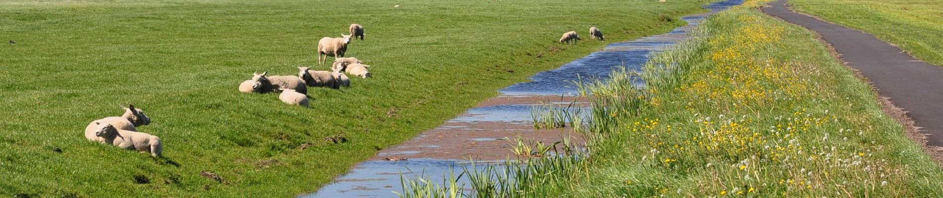
Trail On foot of 6 km to be discovered at South Holland, Unknown, Zoeterwoude. This trail is proposed by SityTrail - itinéraires balisés pédestres.

Description

Trail created by Land van Wijk en Wouden.

Boerenlandpad, deel van route gesloten in broedseizoen / access: permissive / access:conditional no @ (Mar 15-Jun 15)


Website: http://www.landvanwijkenwouden.nl/uploads/bord_Balkengat_LR.pdf

Elevation profile

Photos

Positioning

Country:
Netherlands
Region :
South Holland
Department/Province :
Unknown
Municipality :
Zoeterwoude
Location:
Unknown
Start:(UTM)
602926 ; 5774516 (31U) N.


Close
My subscriptions